Takas Karajimiškio kraštovaizdžio draustinyje
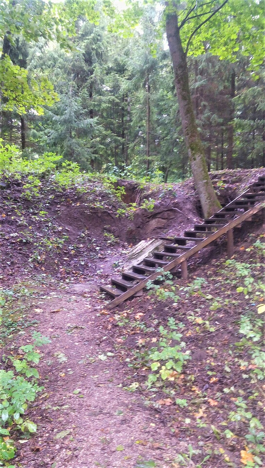
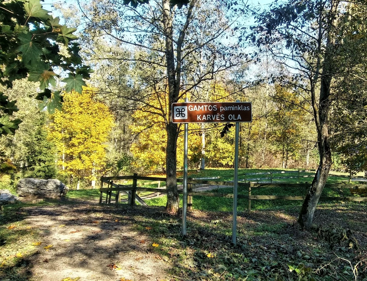
The first stretch of the trail leads to the most famous karstic sinkhole in Biržai Regional Park, the nature monument – Cow’s Cave. Cow’s cave is one of the best-preserved shallow-type sinkholes. In 1964 it was declared a natural monument. Legend says, that a maid of the nearby former Mantagailiškis manor was on her way to milk the cows when she heard the cry of her baby. She threw the buckets away and ran to calm the crying baby. When later she returned, she saw a huge hole and a chain next to it. Since then this place is called the Cow’s Cave. It is a funnel-shaped, almost round sinkhole. According to speleologists, it appeared around 200 years ago. It is 10-12 m in diameter and around 12.6 m deep. There is an opening at the bottom of the sinkhole. The temperature there is about +5 °C. The sinkhole has five caverns (Wet Cave, Narrow Hole, Bat Hole, Frog Cave with a 1,5 m deep underground lake and Glossy cave). The Cow’s Cave is still actively developing. Its parameters, the length of holes, the form of sinkhole and other cavities are changing.
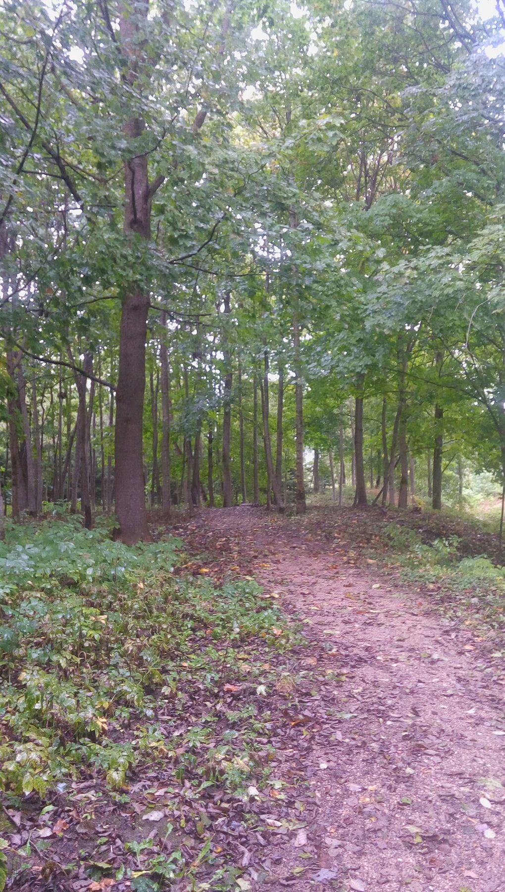
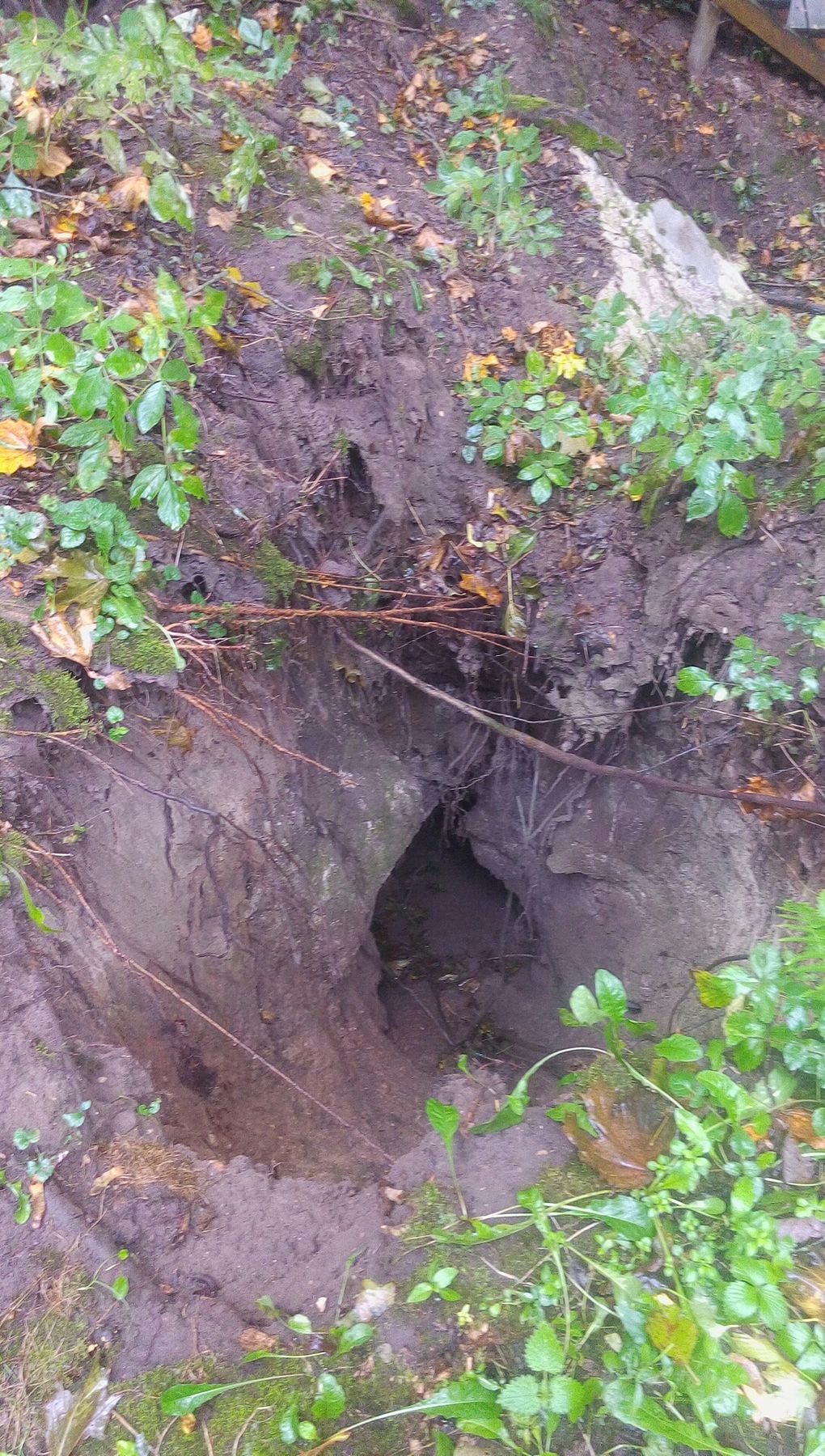
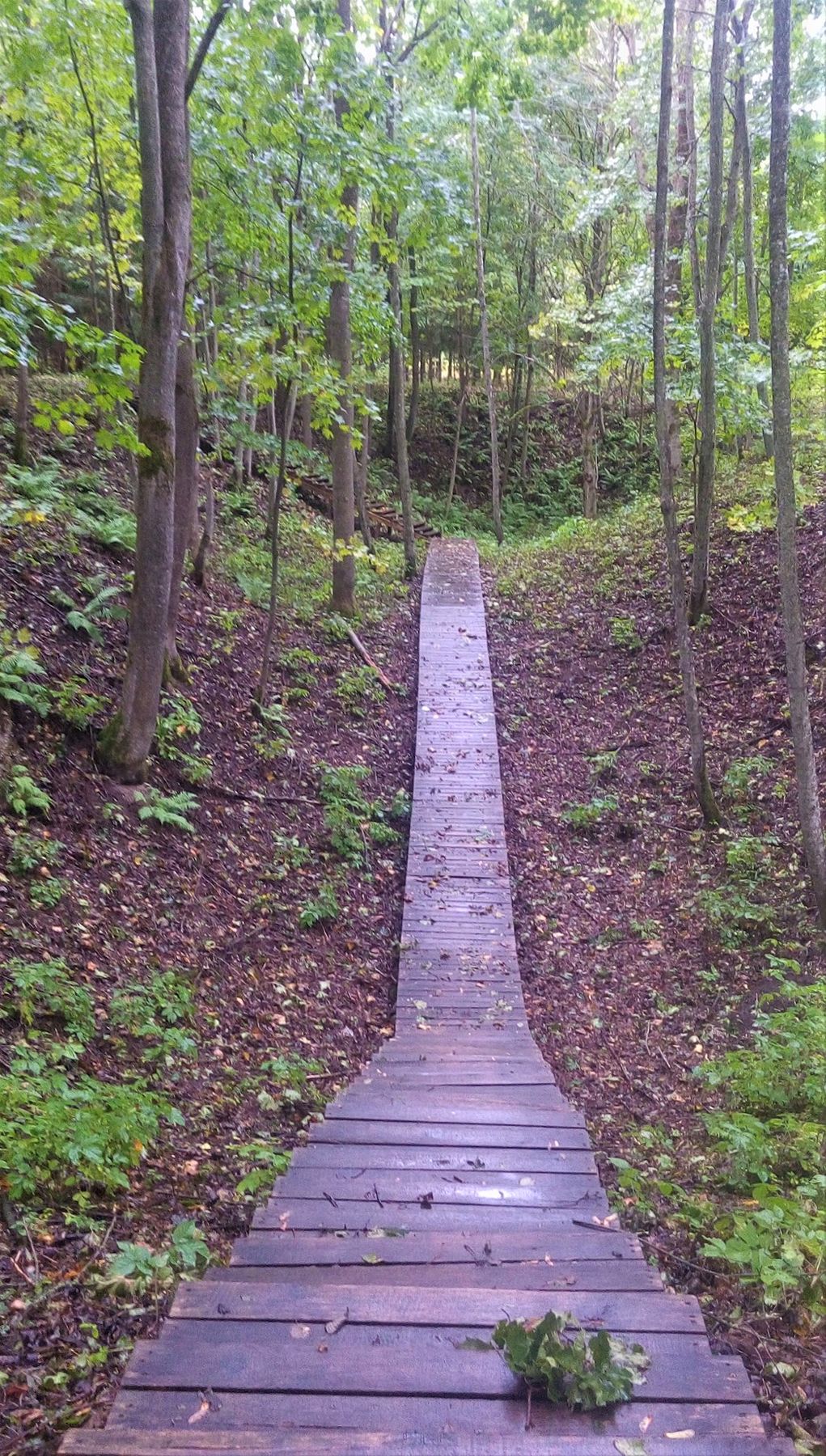
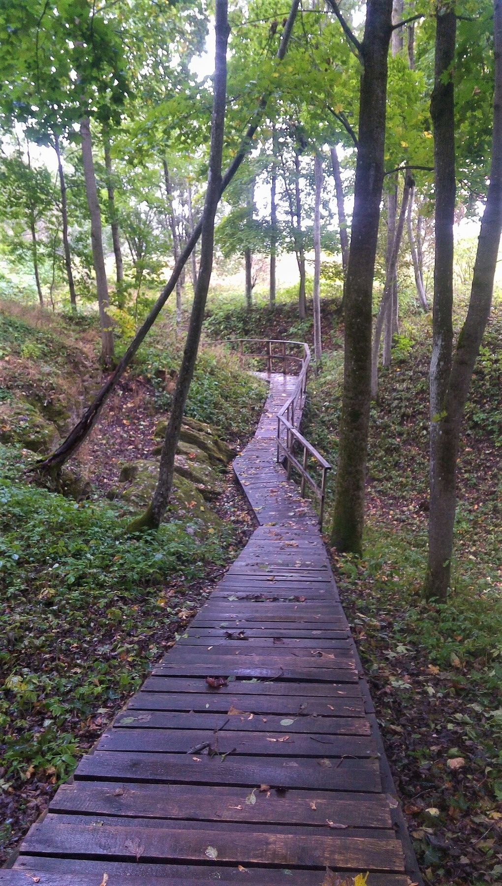
After visiting the Cow’s Cave the trail waves loop-type back to the parking lot, where, along the trail, you can find several other sinkholes. From the parking lot the trail continues along the road to the right, where you shall spot the road sign to Geologinis takas (Geological trail). It is a 0,7 km long loop-type trail, opened in 2012. The trail starts at the Geologist’s Pit. The Pit occurred on 22 April 2003, shortly before the celebration of the Geologists’ Day in Lithuania, that’s where it got its name from. On the way you will see the Fox Cave and the Badger Cave, both having their names because of the animals once living there. Further the trail goes to Devonian rocks exposure in old sinkholes, and returns back to the Geologists’ Pit.


Info
Type: TrailLength: 1.8km
We visited: 10 Oct, 2018
GPS: 56.20586, 24.69287