Strenču pilsētas taka
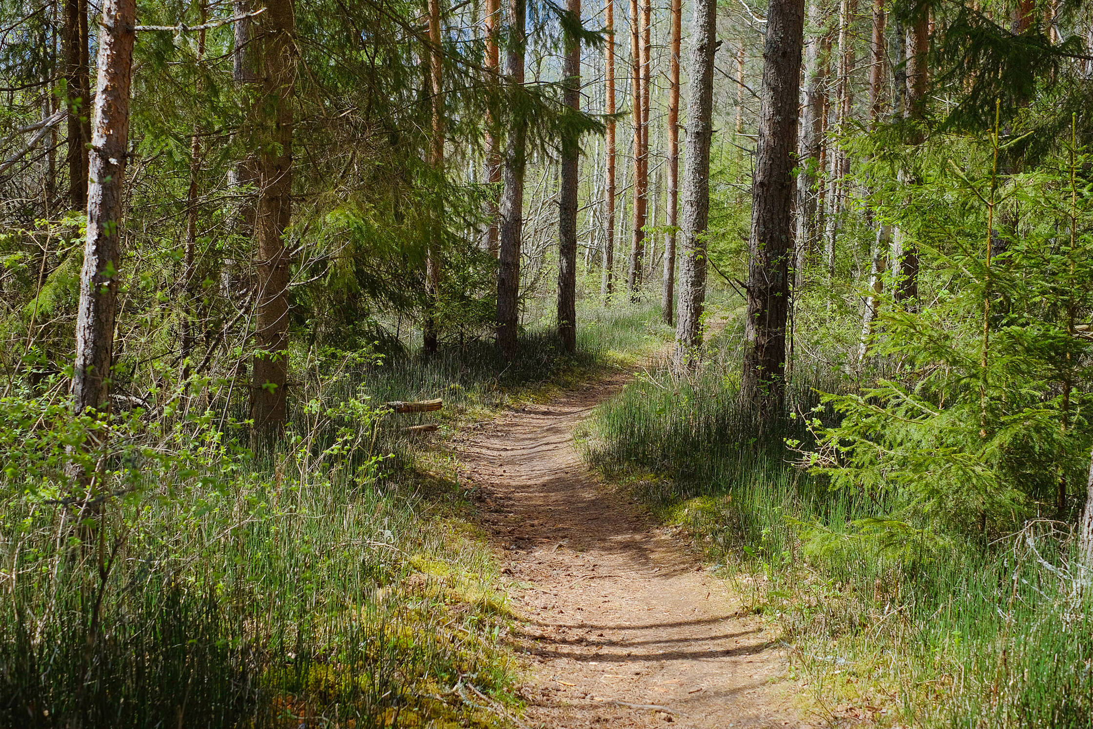
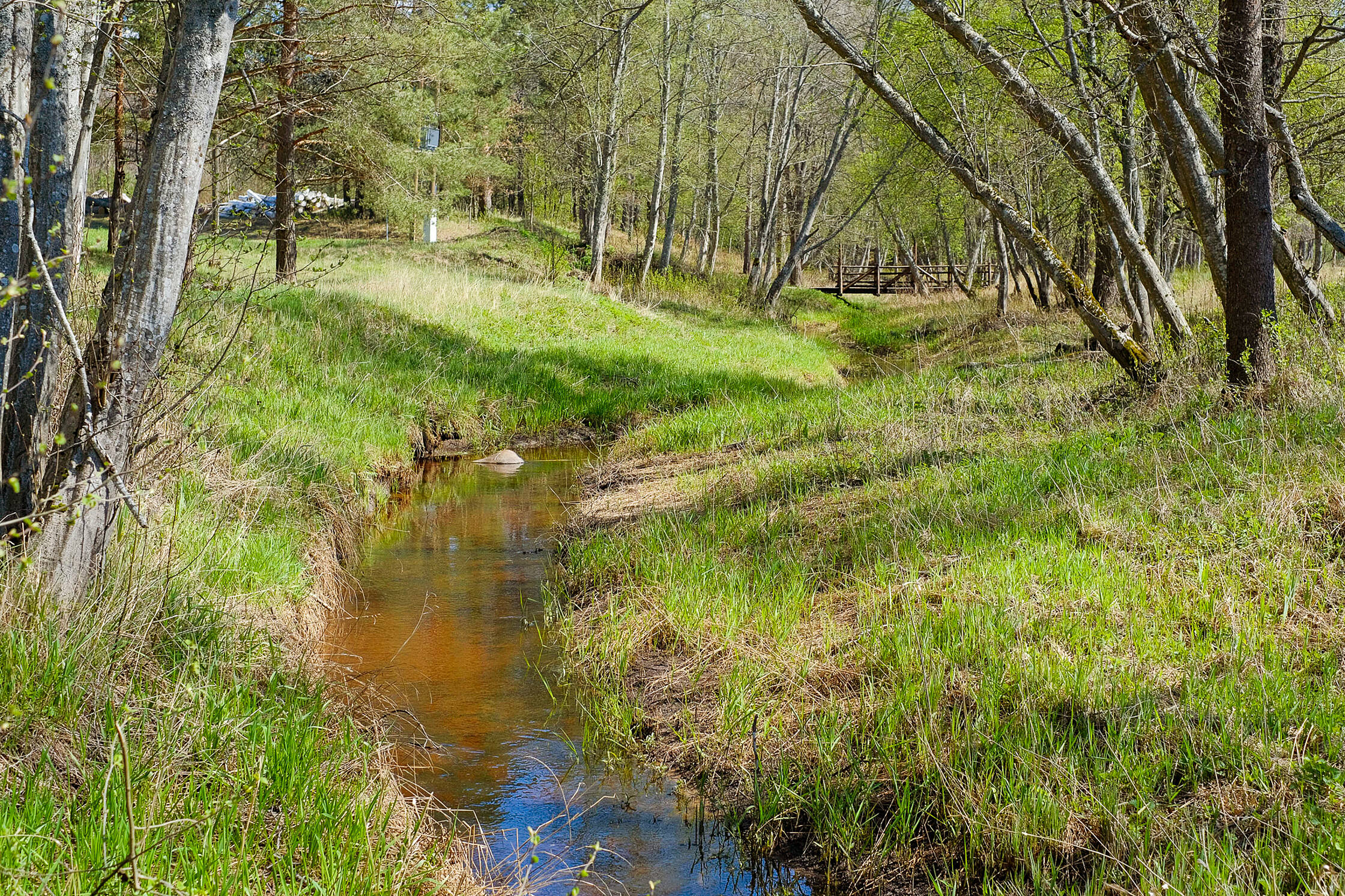
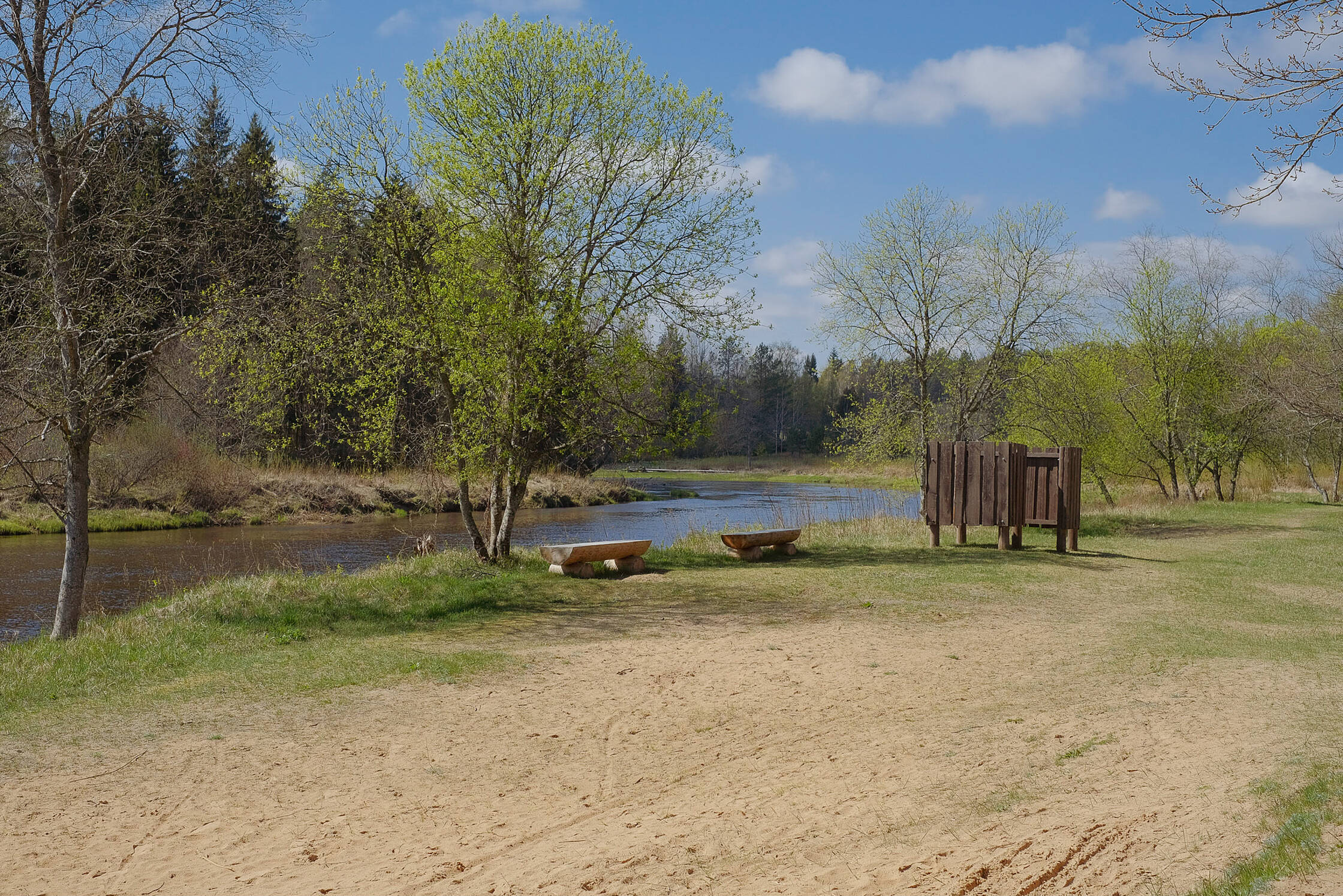
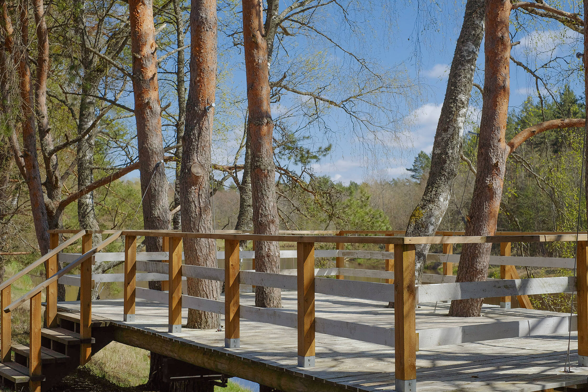
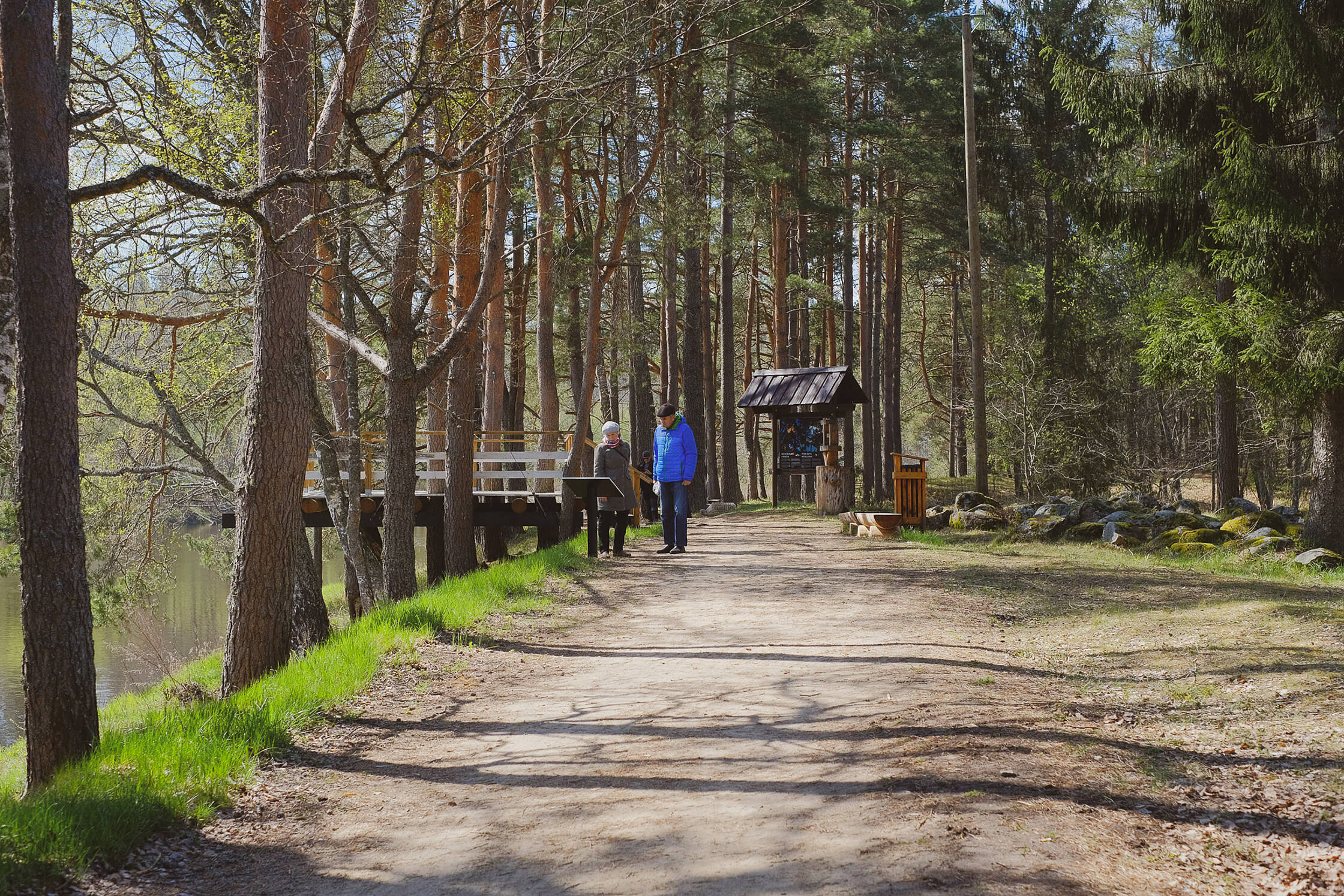
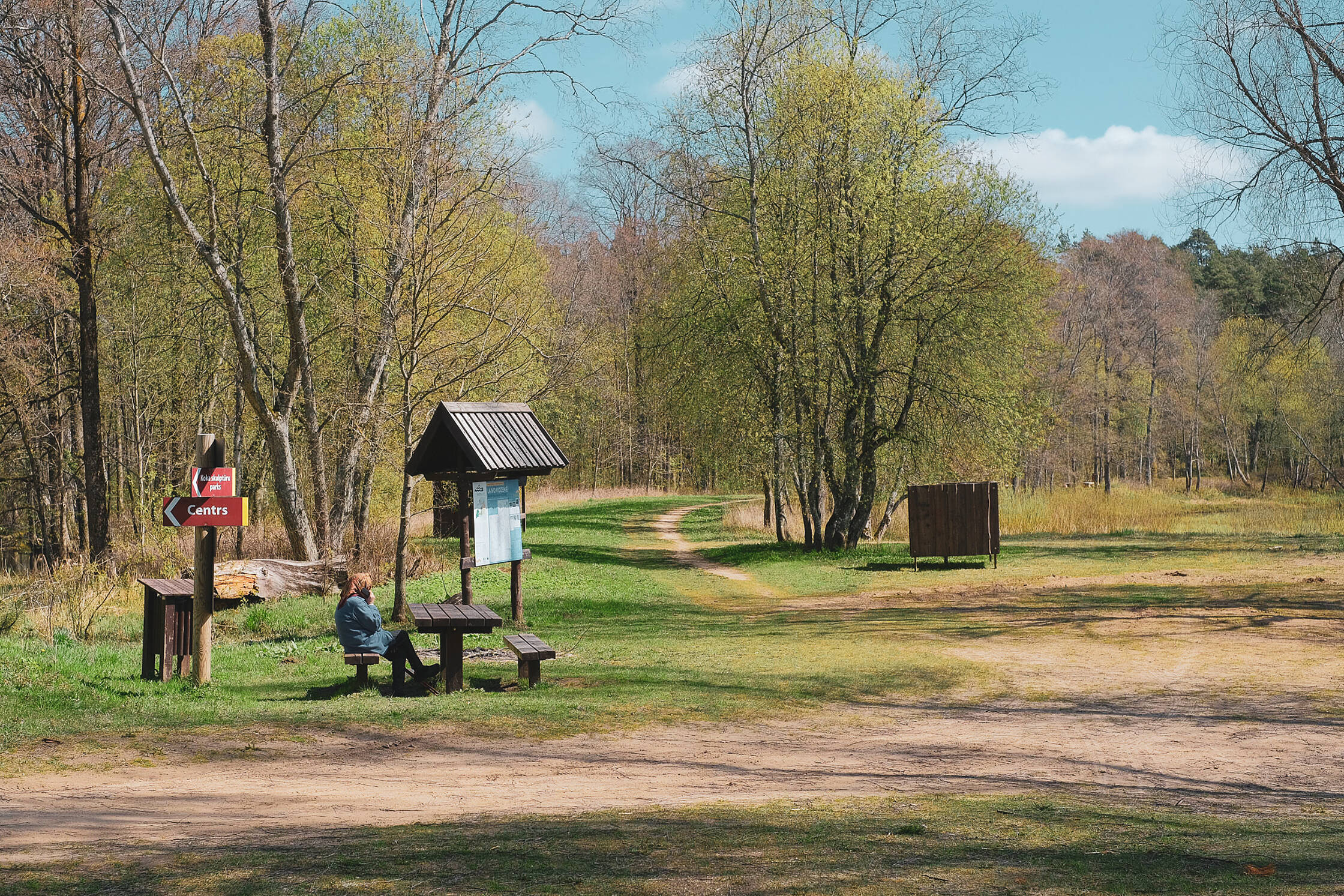
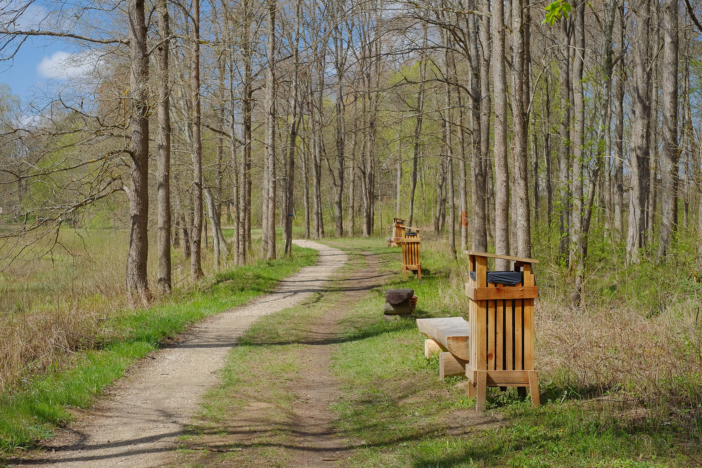
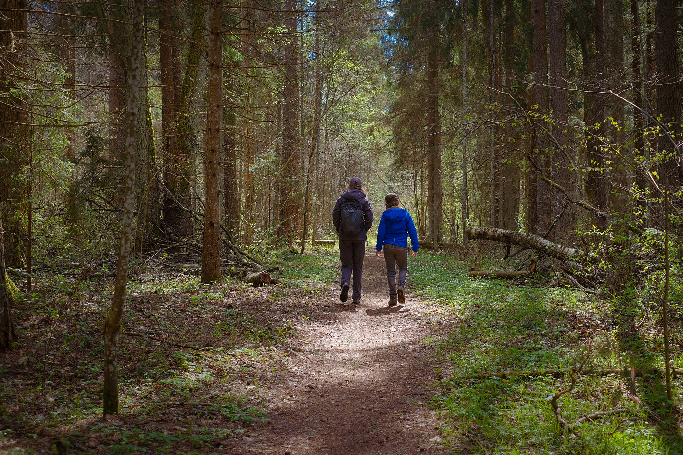
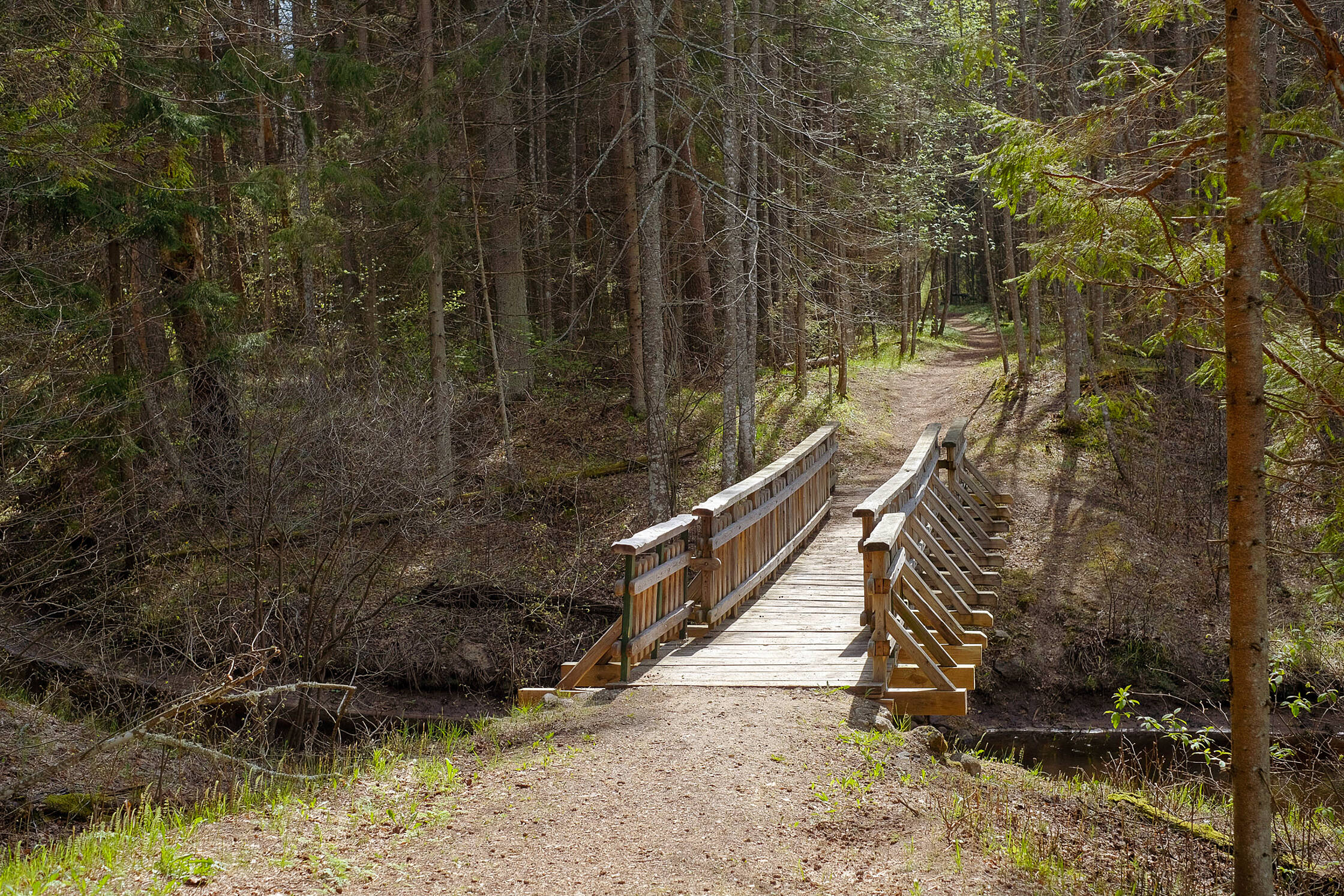
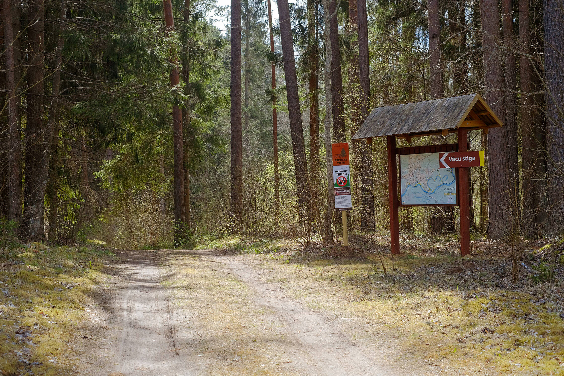
Routes 3 to 10 km long, there are picnic places. Very beautiful forest, Gauja. At the indicated point there is a small parking lot and a road to the Gauja, where the trail begins. The information board states that the route marked in yellow is 5 km, but in practice it has been checked that the route is 8 km. If you want a 10km walk, you can connect the two trails visible on the stand, first walking the blue, then following the yellow trail. On the way back we chose to go a bit through the city so that the last stage we would not have to come back the same route (as recommended by the stand).


Info
Type: TrailLength: 8km
We visited: 04 May, 2020
GPS: 57.628508, 25.712355
Waze: Braukt ar Waze
View on map