Šilpelkes jeb Dauginču meža izziņas taka
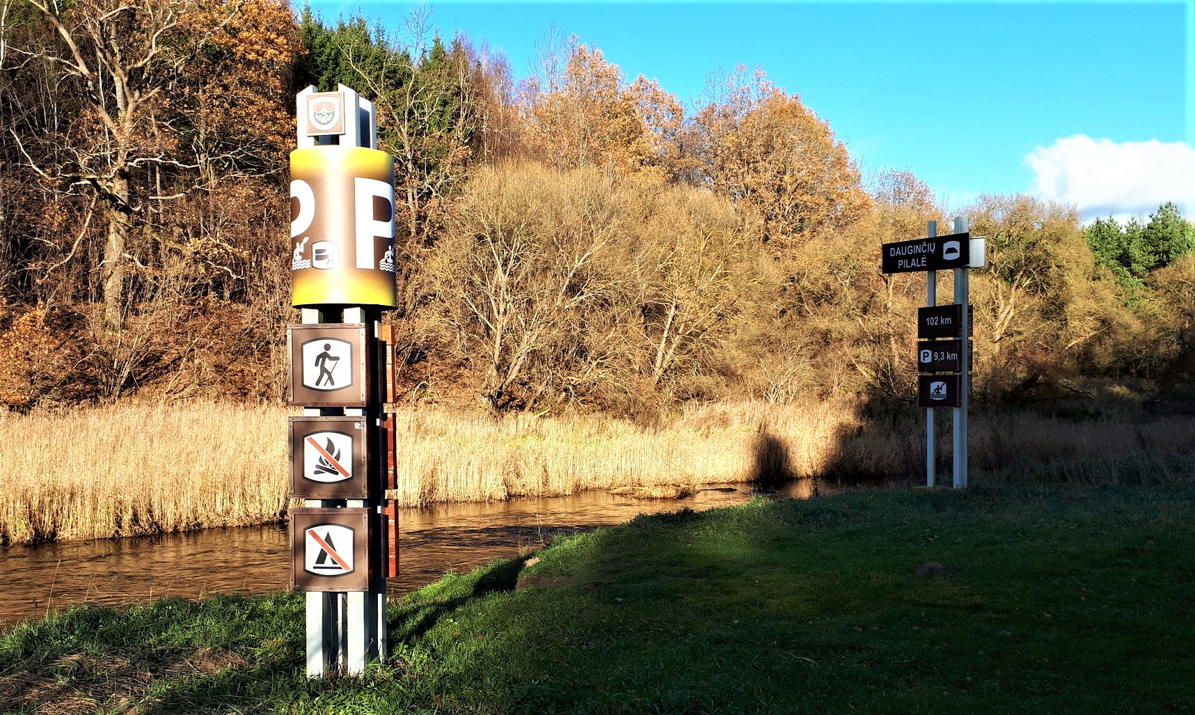
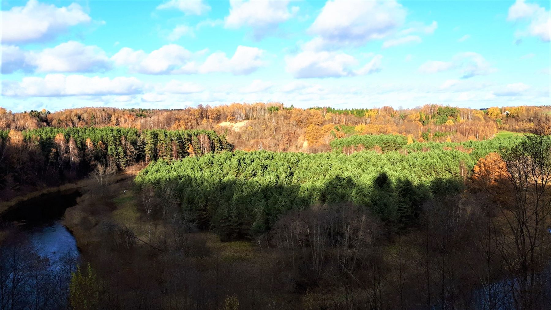
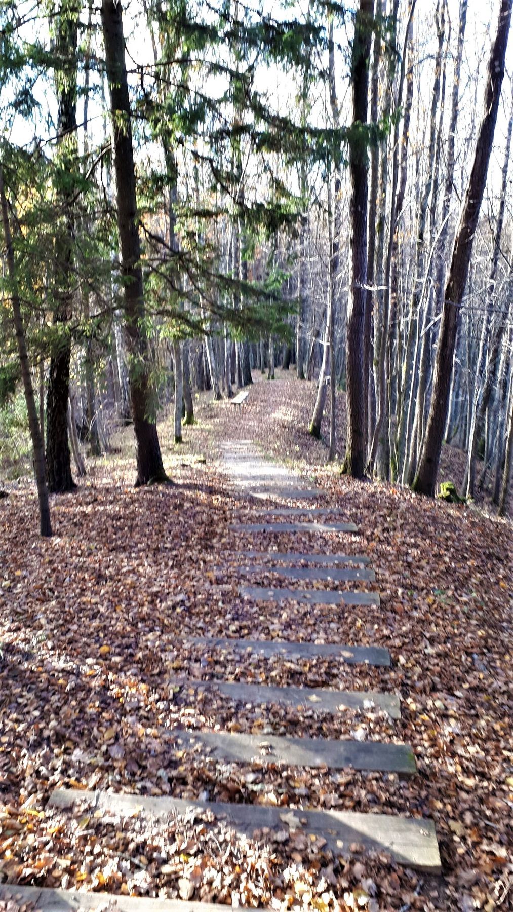
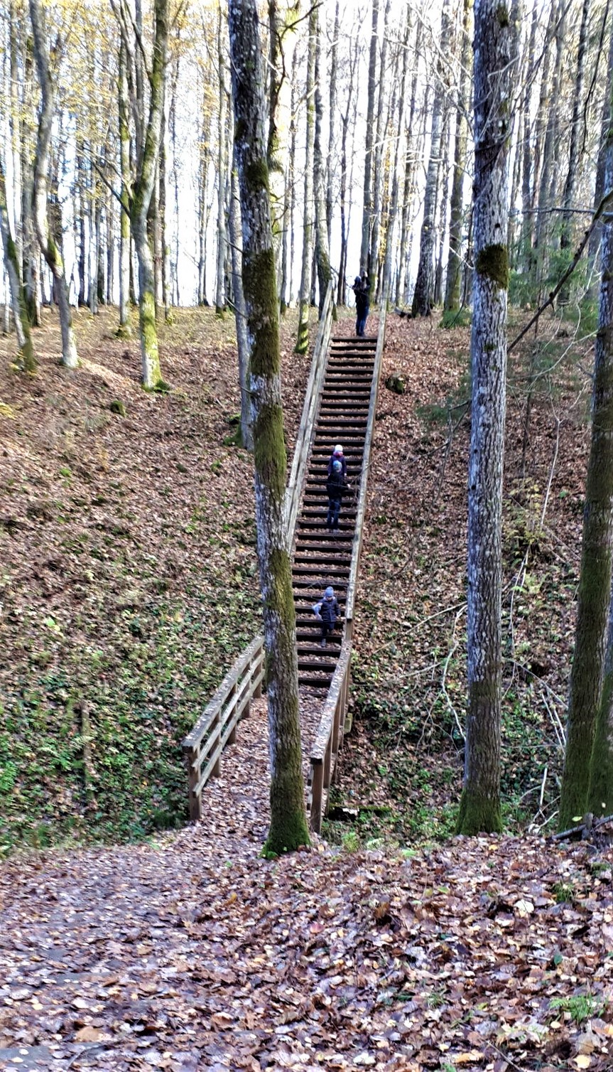
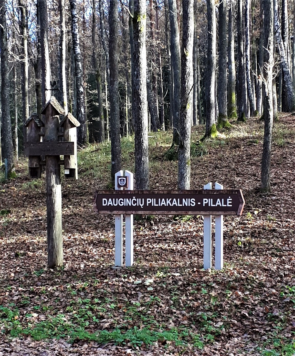
The cognitive path in the Šilpelkė or Dauginčiai Forest begins from the Dauginčių Maras graves, marked by monumental cross and a couple of chapels. Along Pilalė - a base of mound called the Mėnulio Hill (Lith. “mėnulis” – Moon), along ground bastille, formed in the 16th-17th centuries, the path rises to the top of the slope and leads to one of the largest exposition of the coast of Minija with a width of 44 m and a height of up to 22 m. It offers an amazing panorama of the winding river and old valley. The inhabitants of Kartena call this place the Swiss of Lithuania. Next to the exposition, one of the northernmost Lithuanian hornbeam forest grows.


Info
Type: TrailLength: 2.7km
We visited: 15 Sep, 2018
GPS: 55.951345, 21.539474
Waze: Braukt ar Waze
View on map