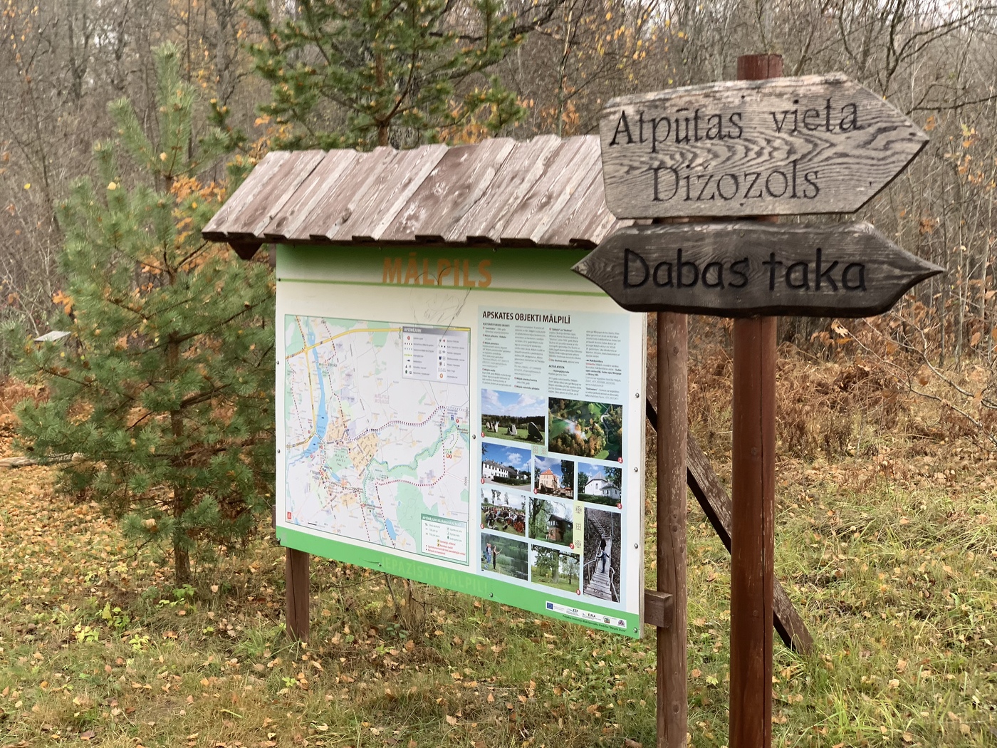
Mālpils dabas taka
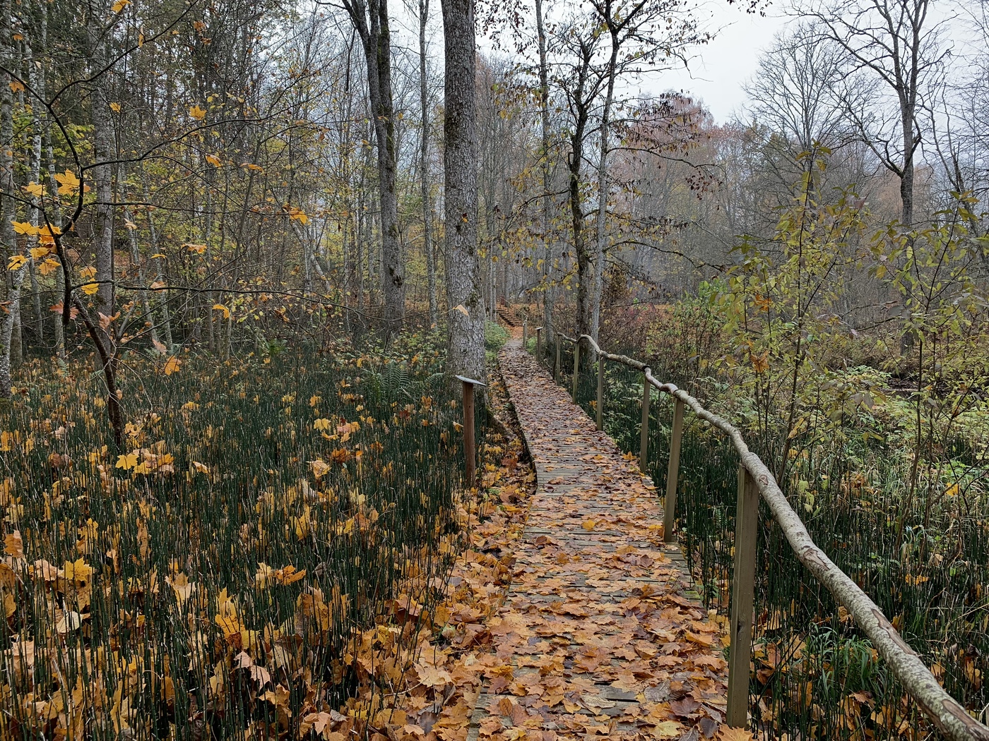
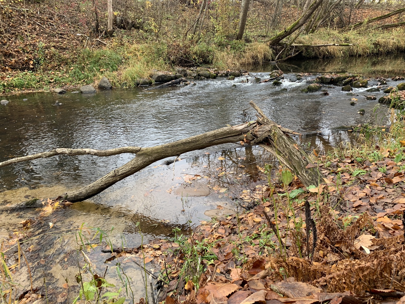
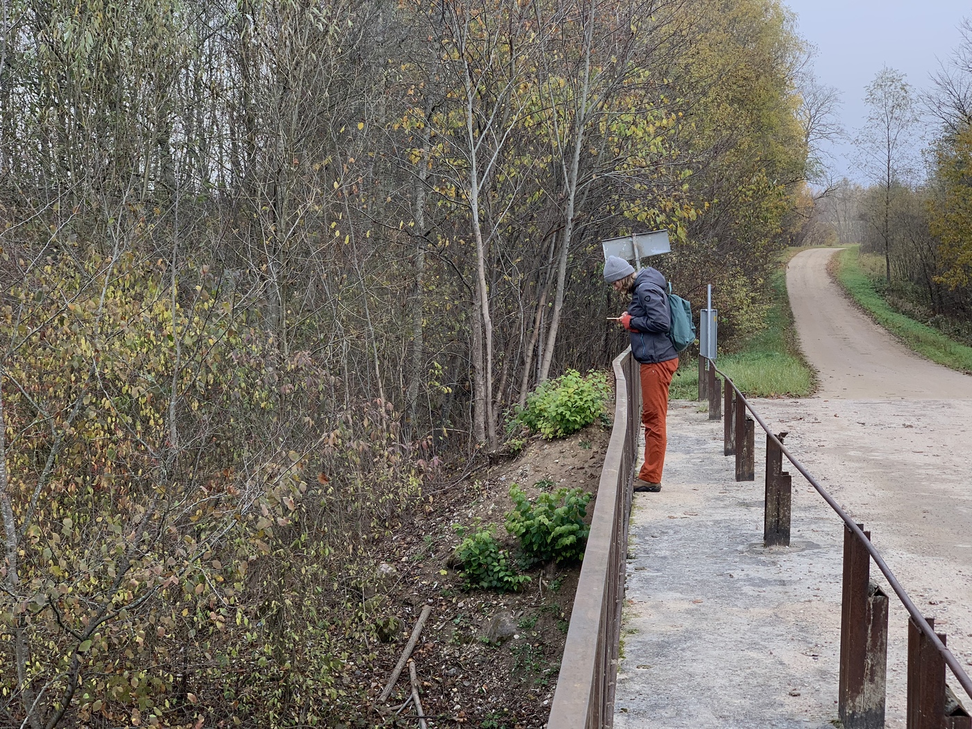
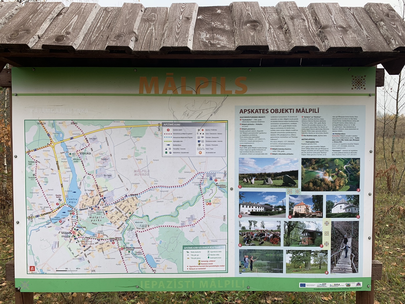
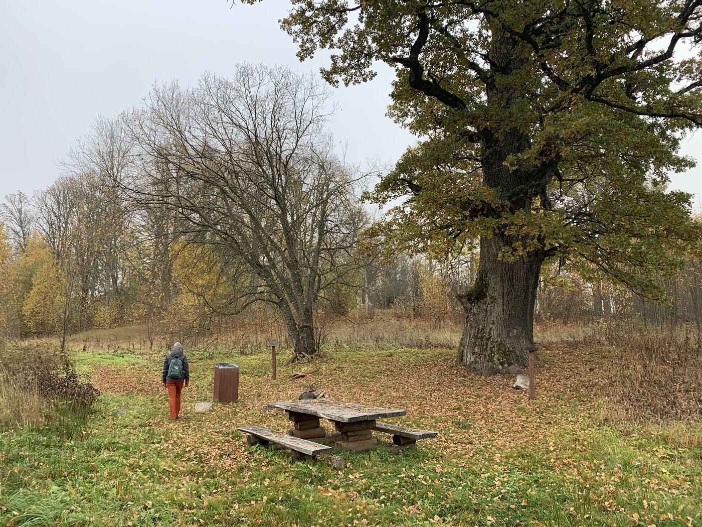
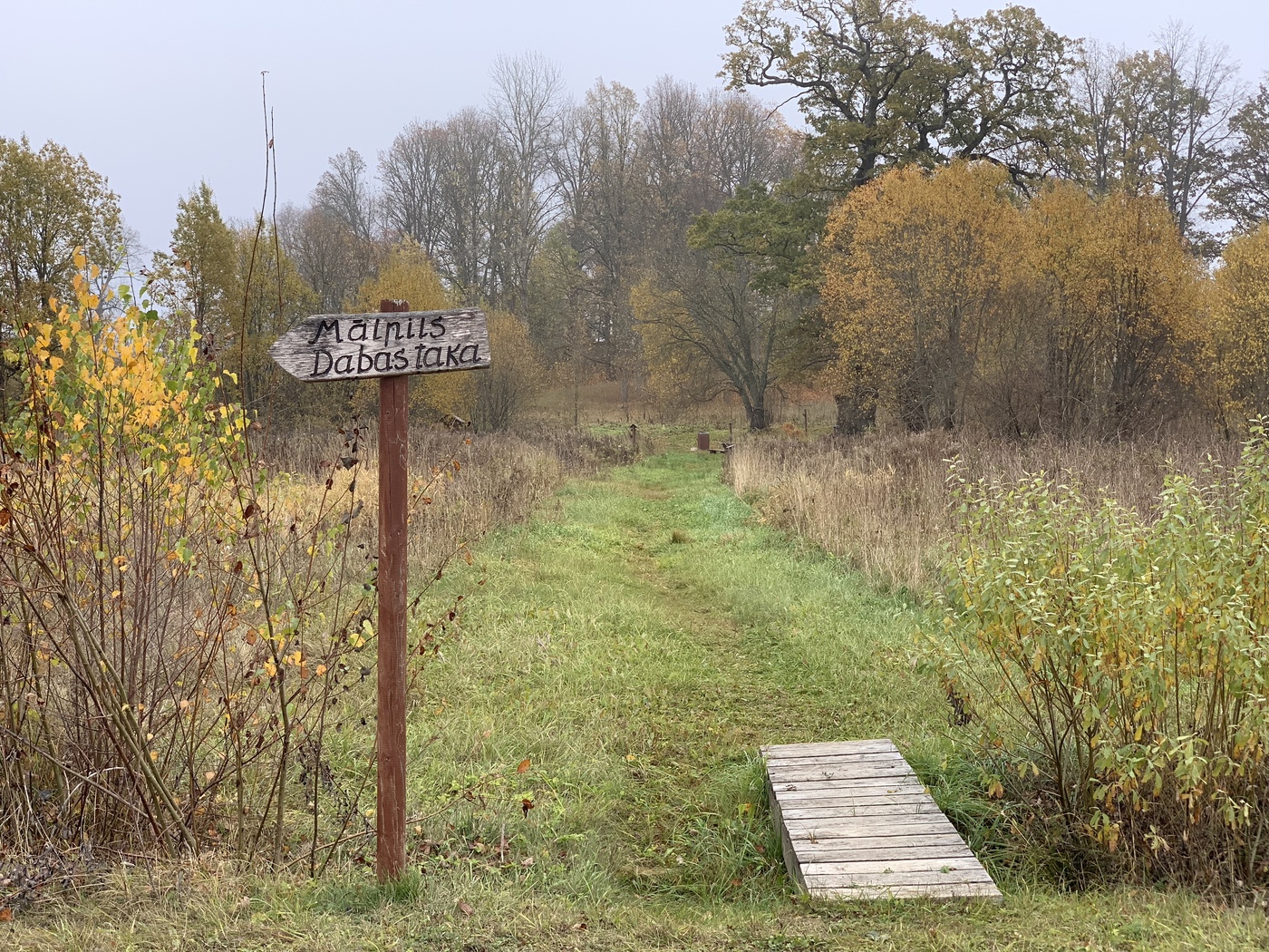
The trail begins at a huge oak tree, where you will find a toilet and a picnic place. The route takes you along the Merga river, the views are beautiful. The longest variant is over eitght kilometers, if you finish the trail and then backtrack to your car over the regular roads. If you have two cars and leave one in the city centre, you can shorten it to a minimum of about three kilometers (start at the bridge and finish at the cemetary). We have included a map in the gallery.


Info
Type: TrailLength: 6.5km
We visited: 07 Sep, 2013
GPS: 57.010593, 24.99033
Waze: Braukt ar Waze
View on map