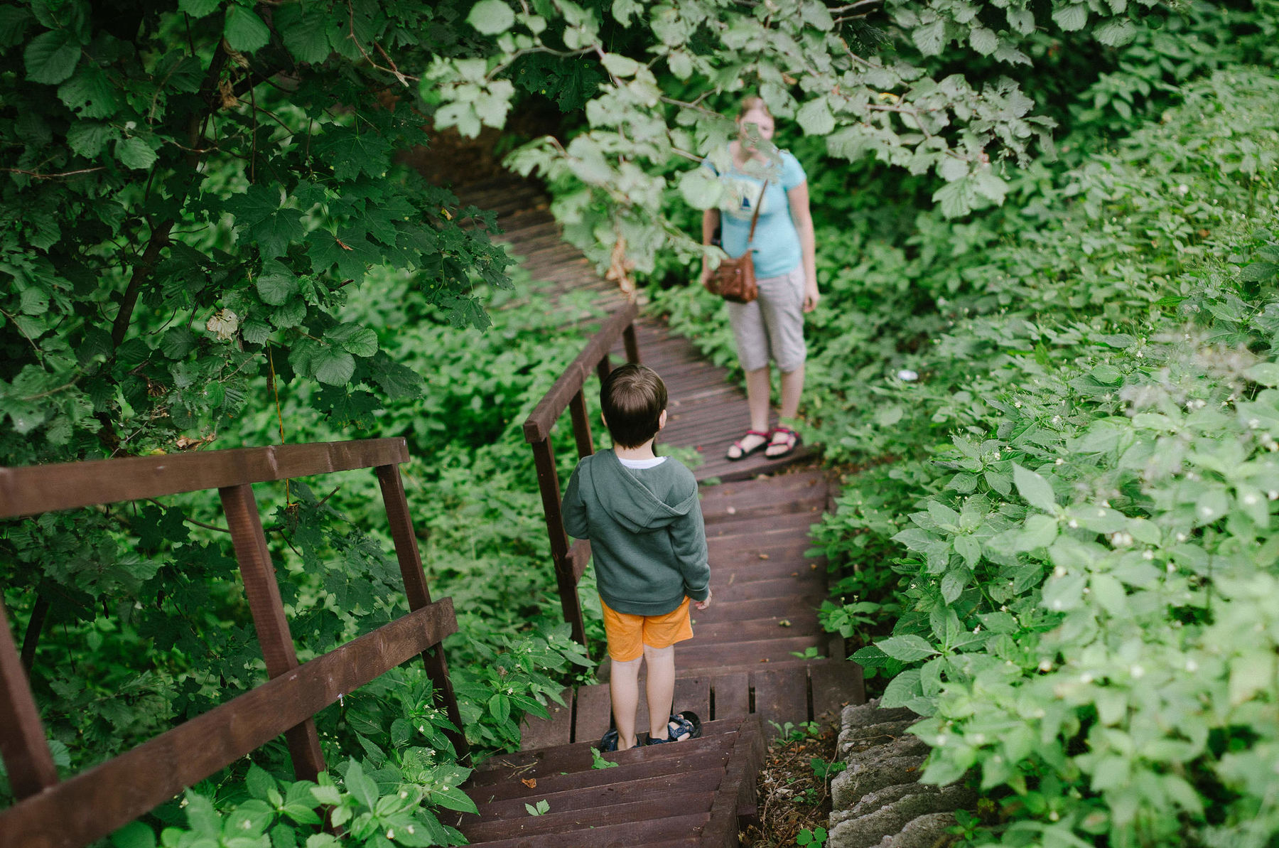
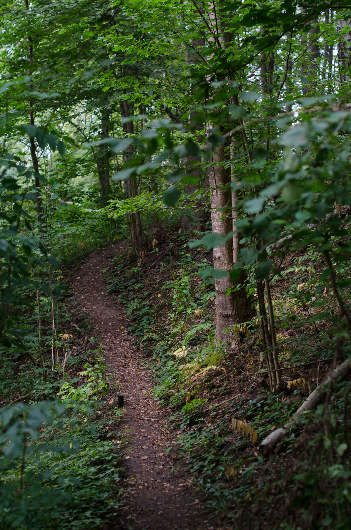
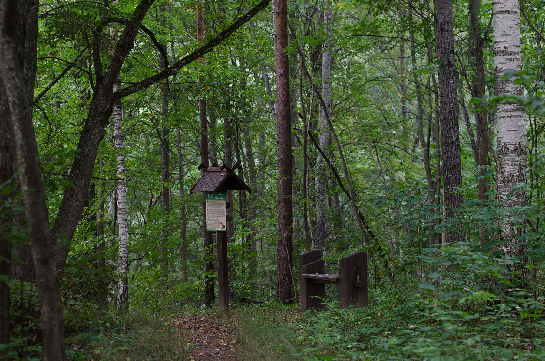
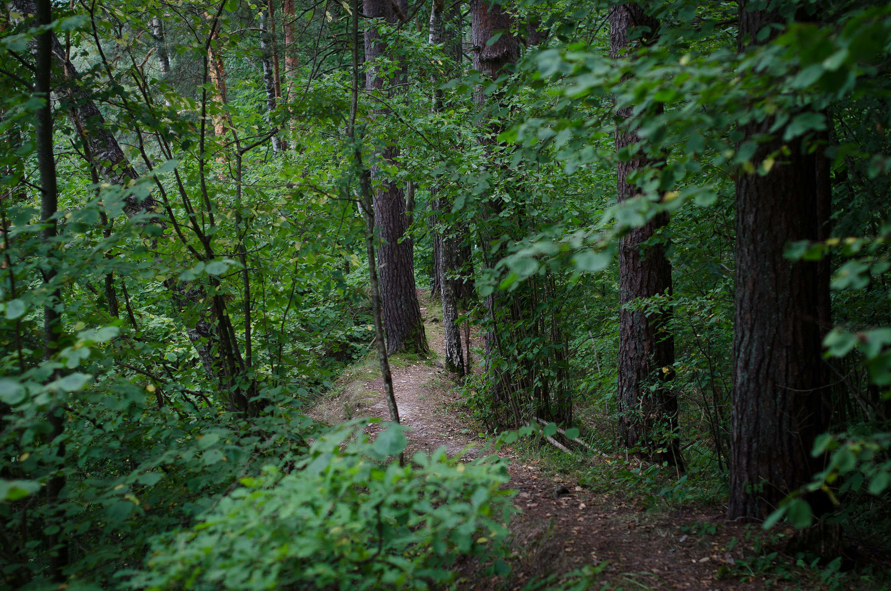
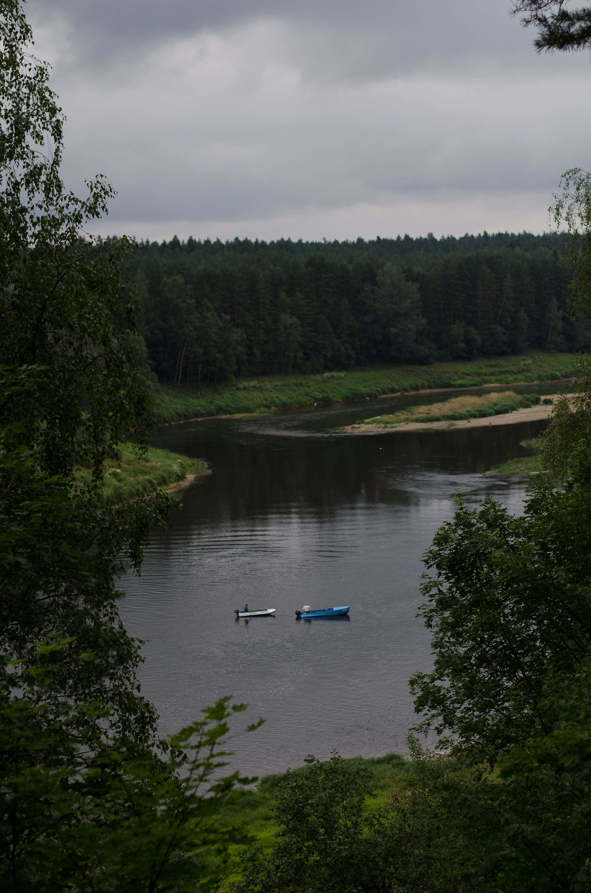
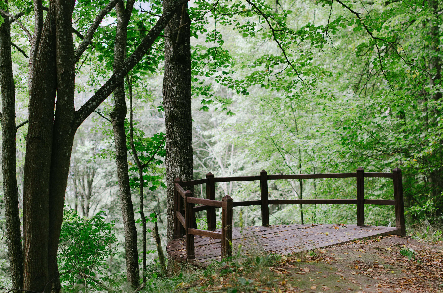
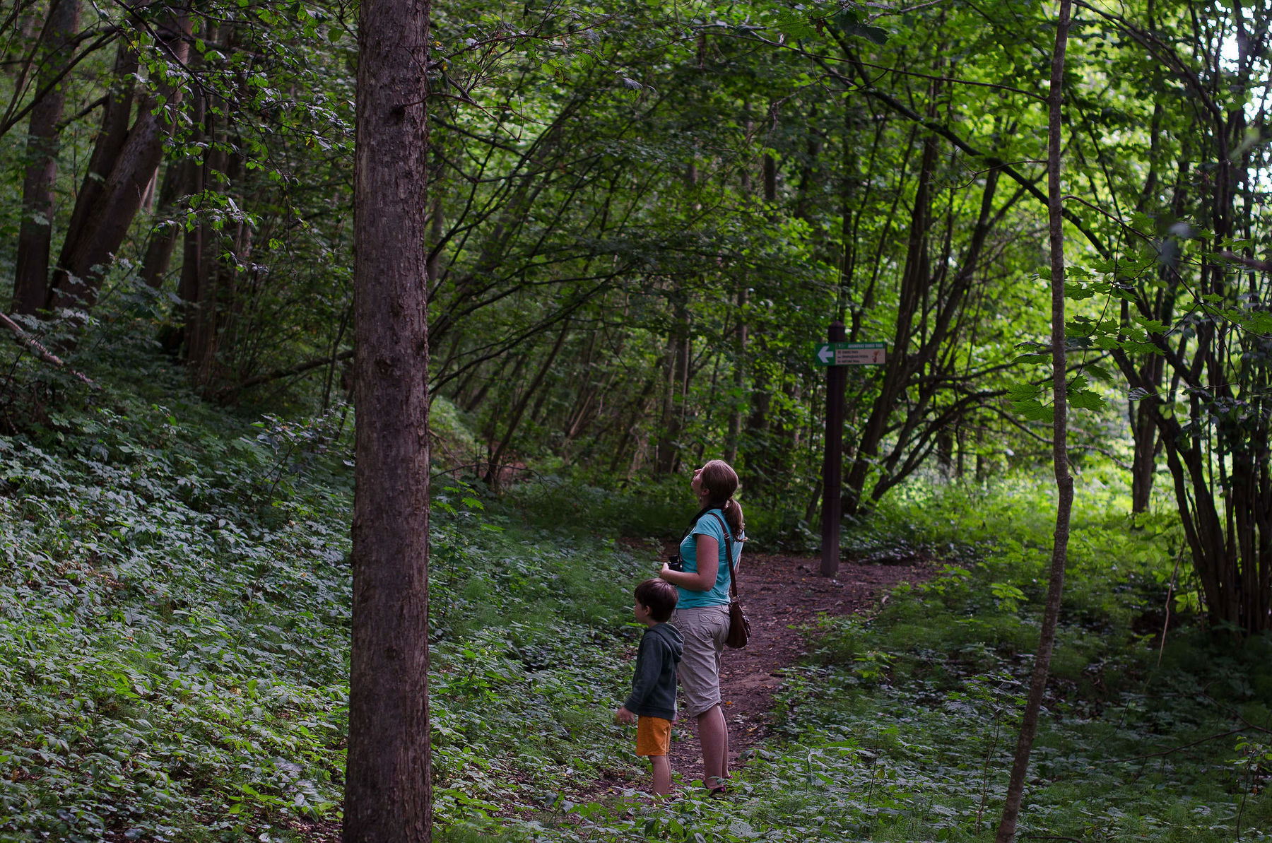
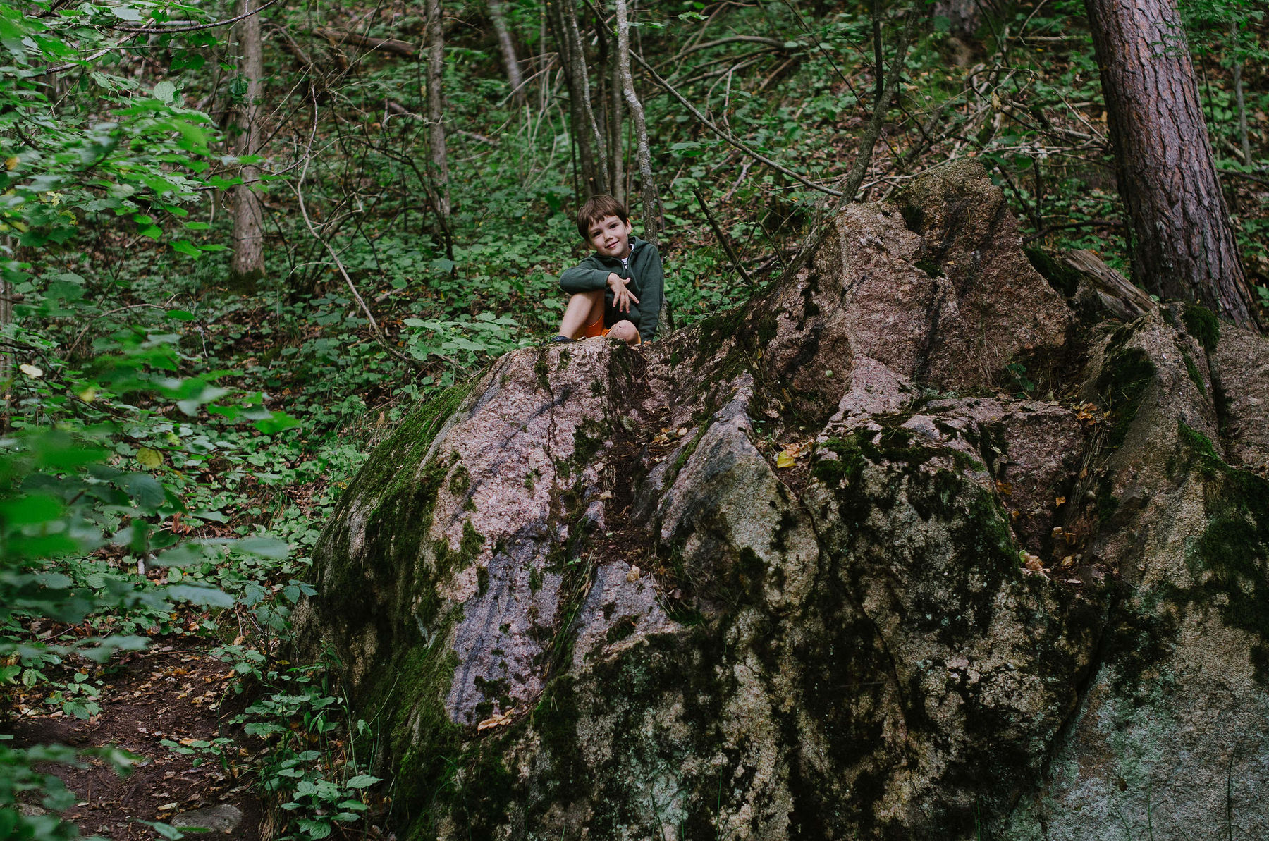
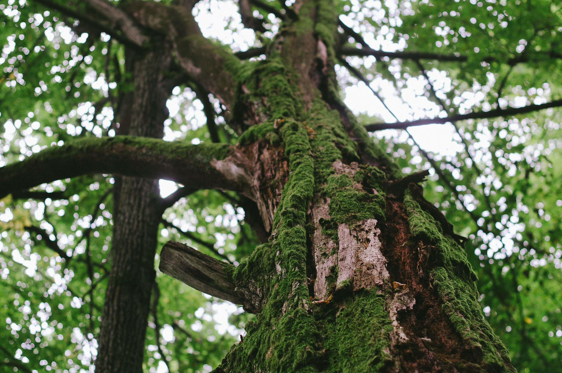
Adamovas taka
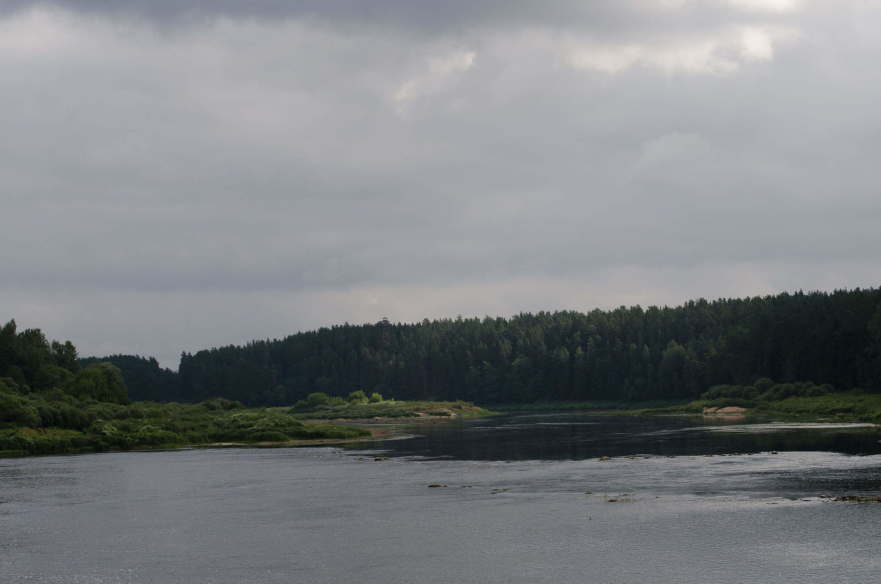
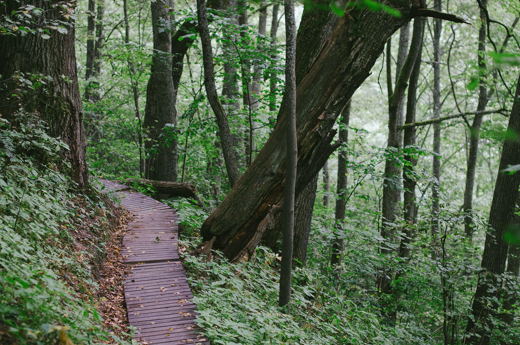
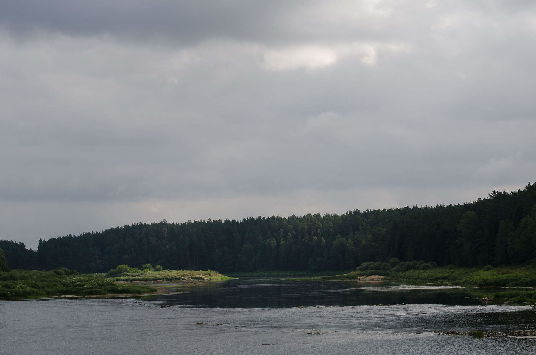
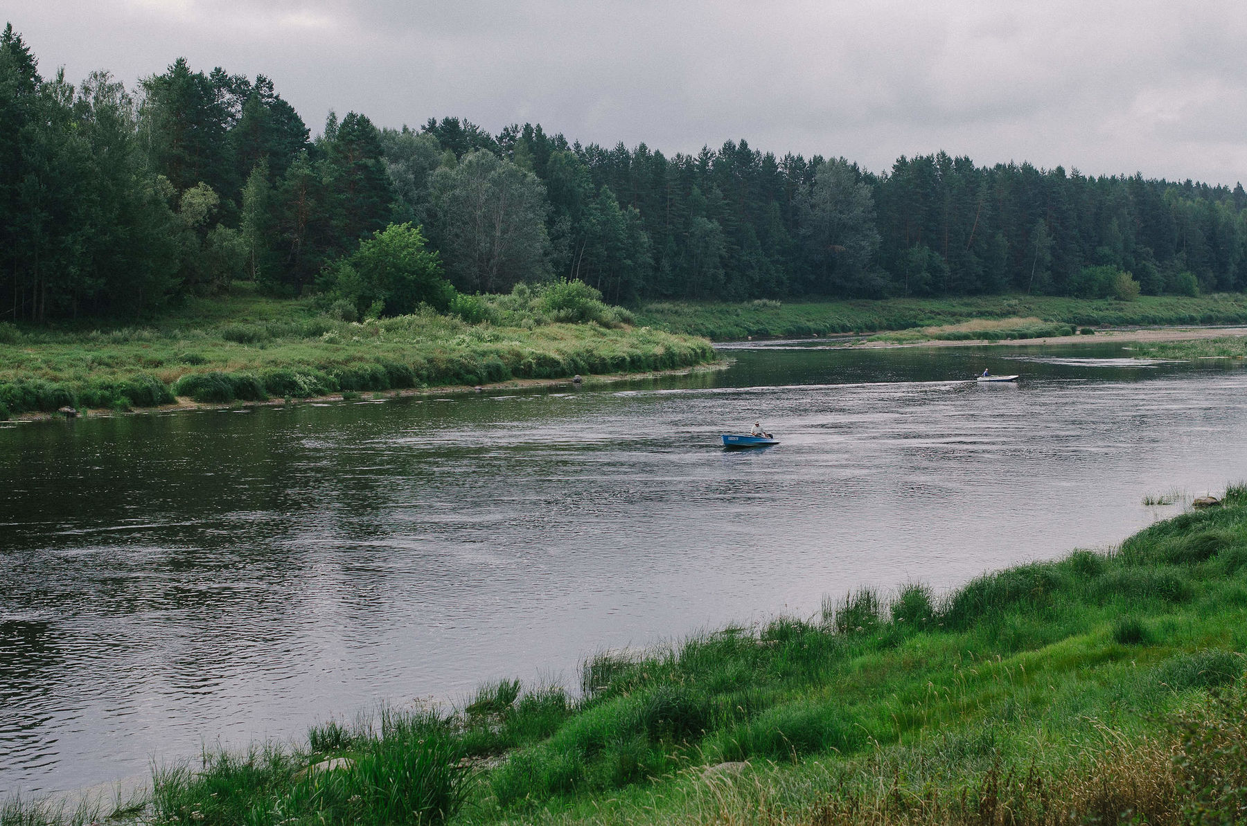
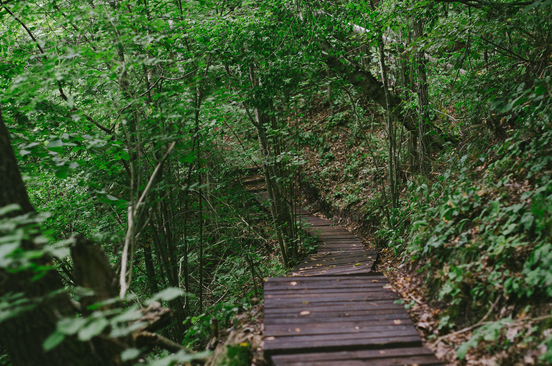
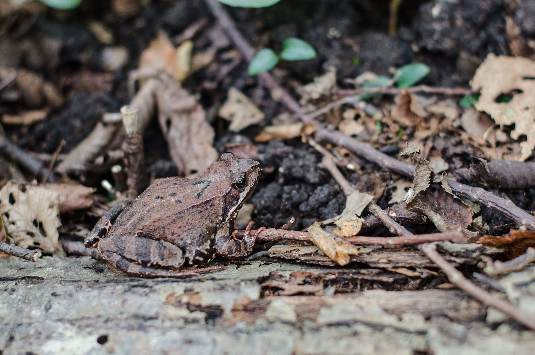
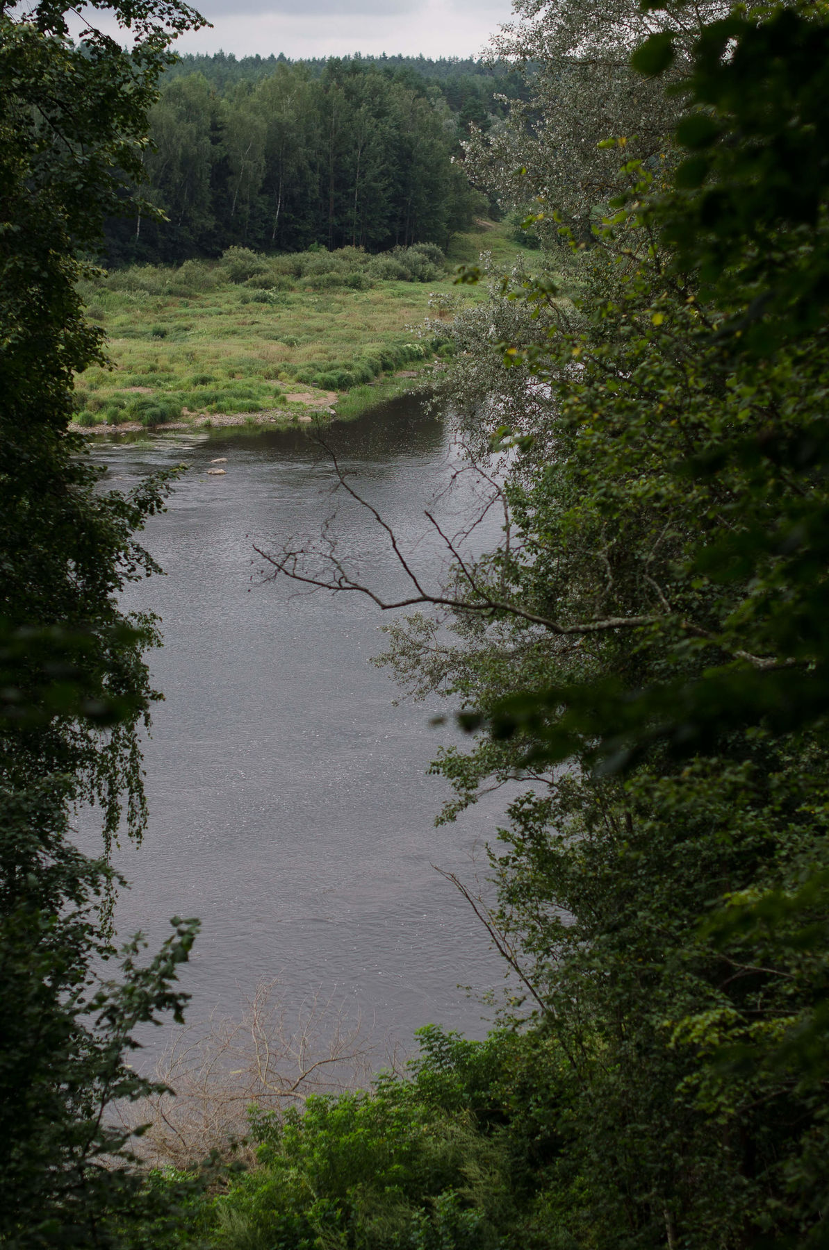
The path is making loops and turns, there are a few bridges and duckboards, nice sloped forests. You can see views of the Daugava river and the Kraslava city.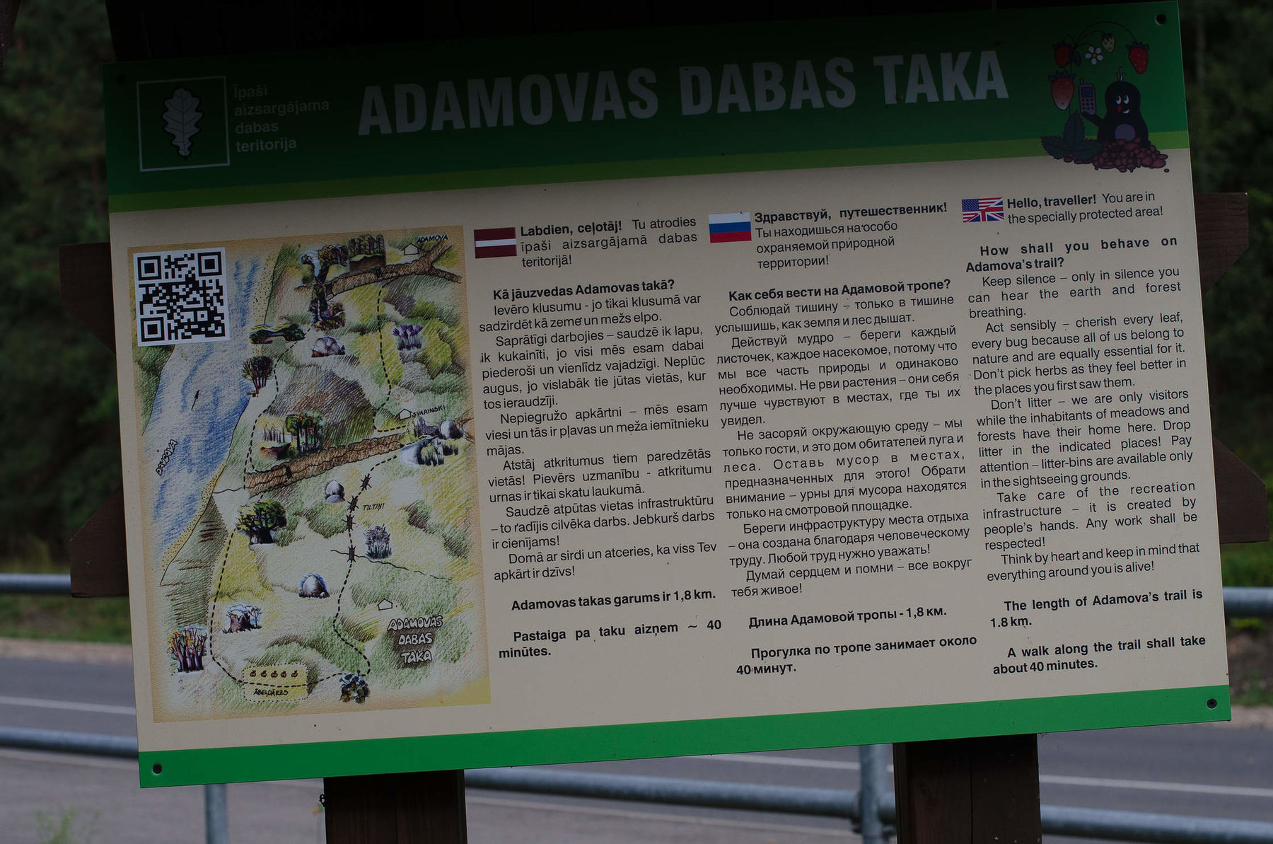


Info
Type: TrailLength: 1.8km
We visited: 10 Aug, 2014
GPS: 55.892502, 27.134514
Waze: Braukt ar Waze
View on map
Post a comment