Šeirės pažintinis takas
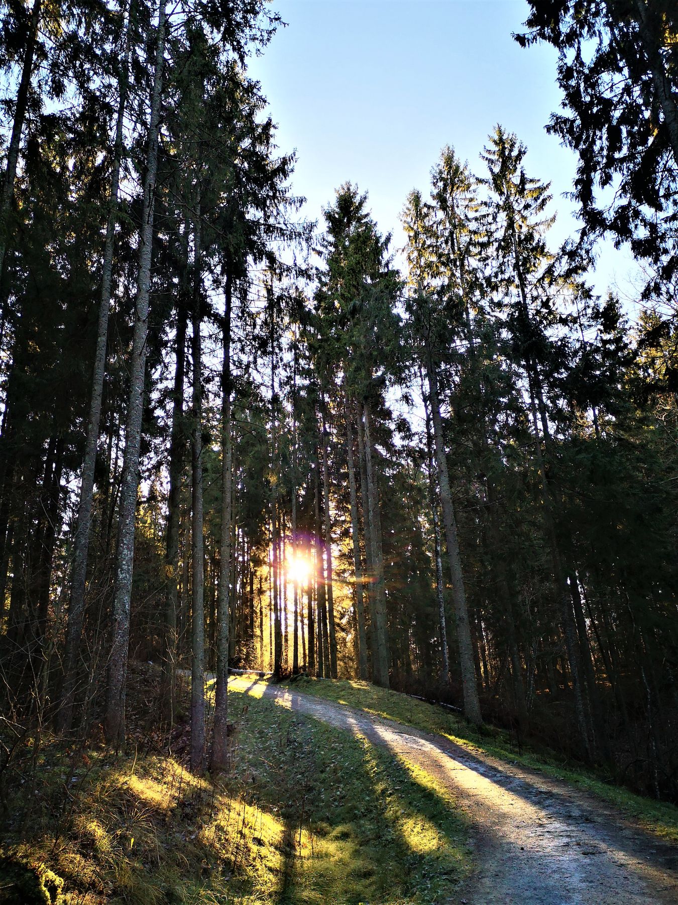
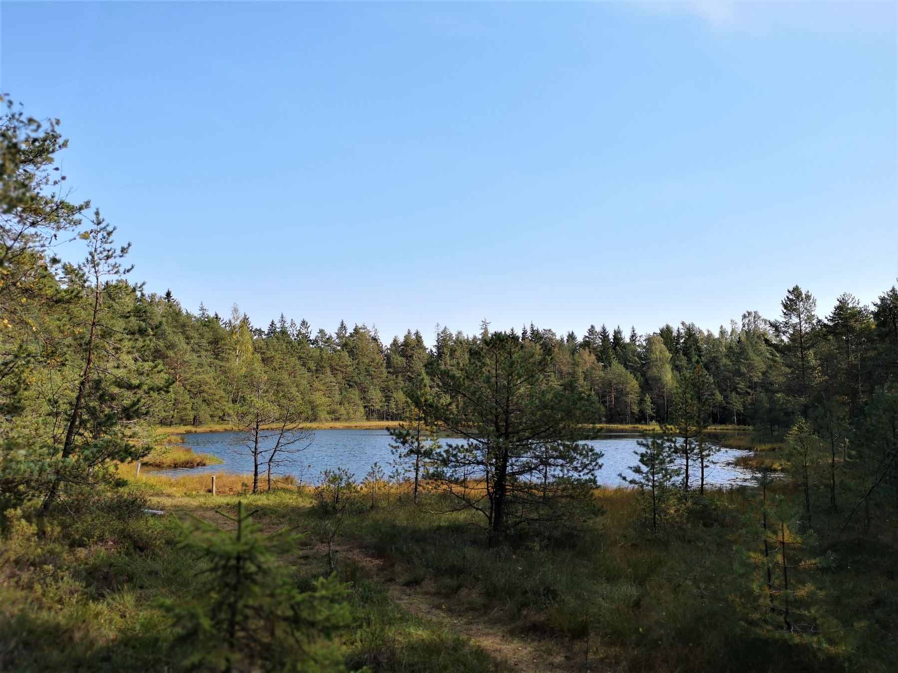
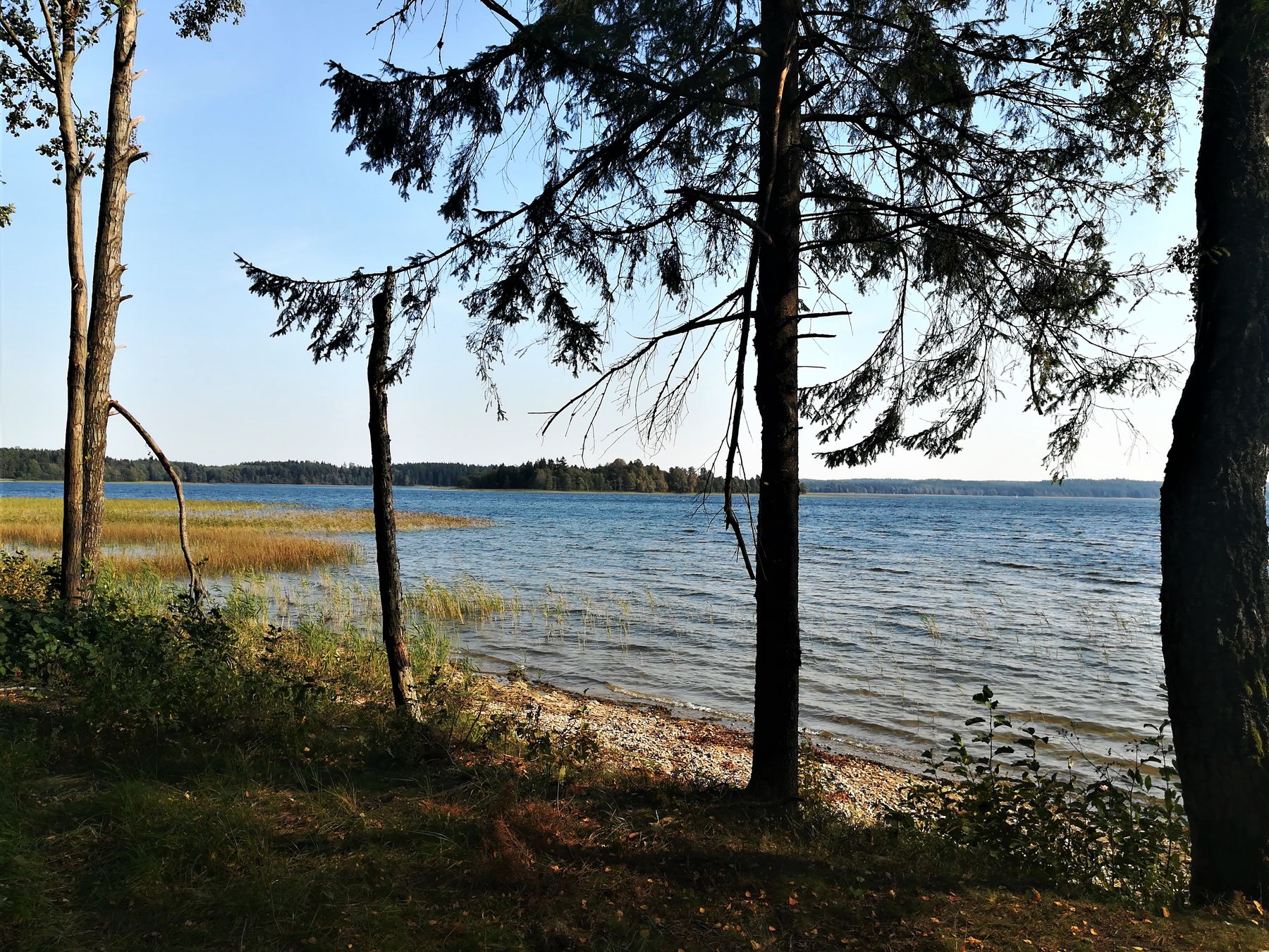
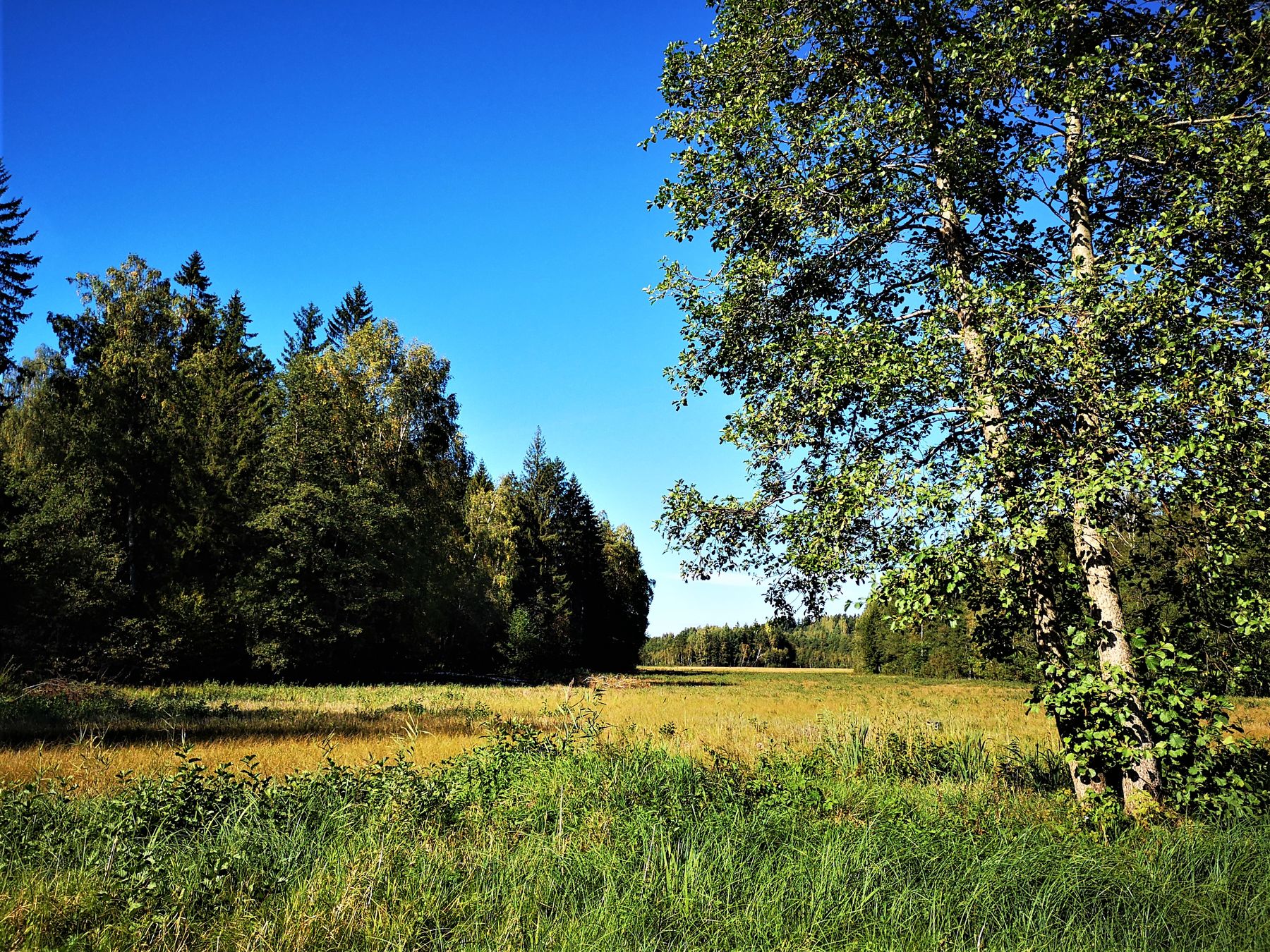
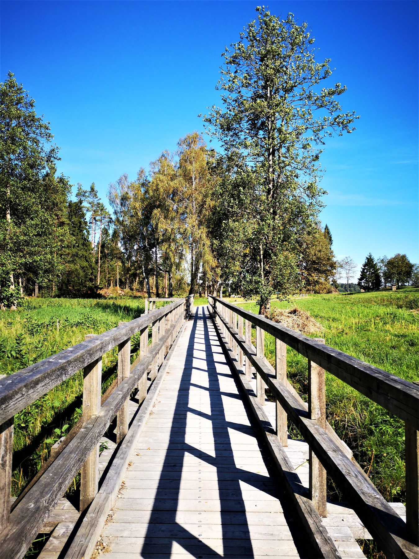
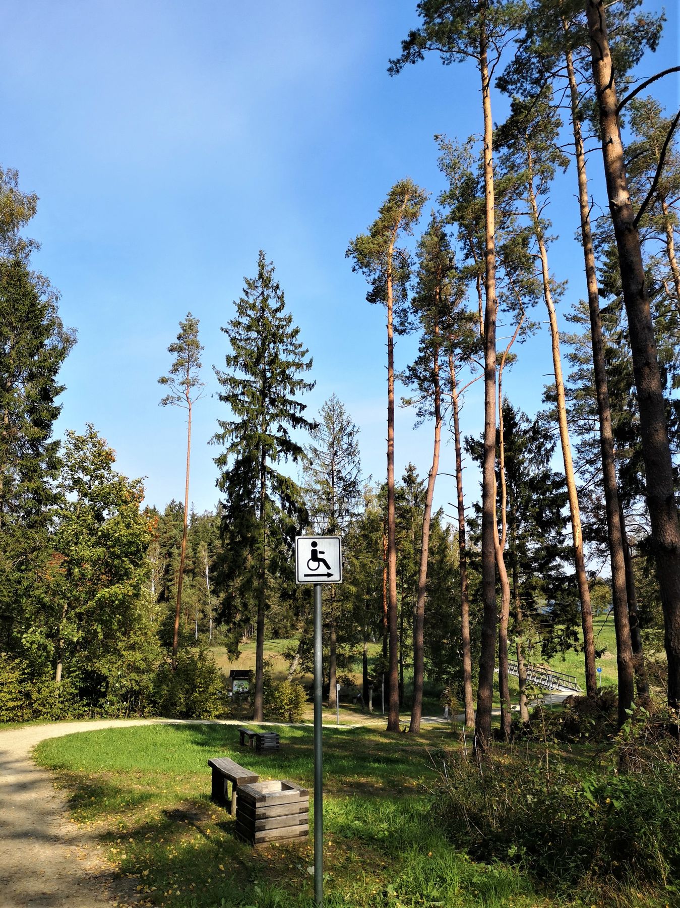
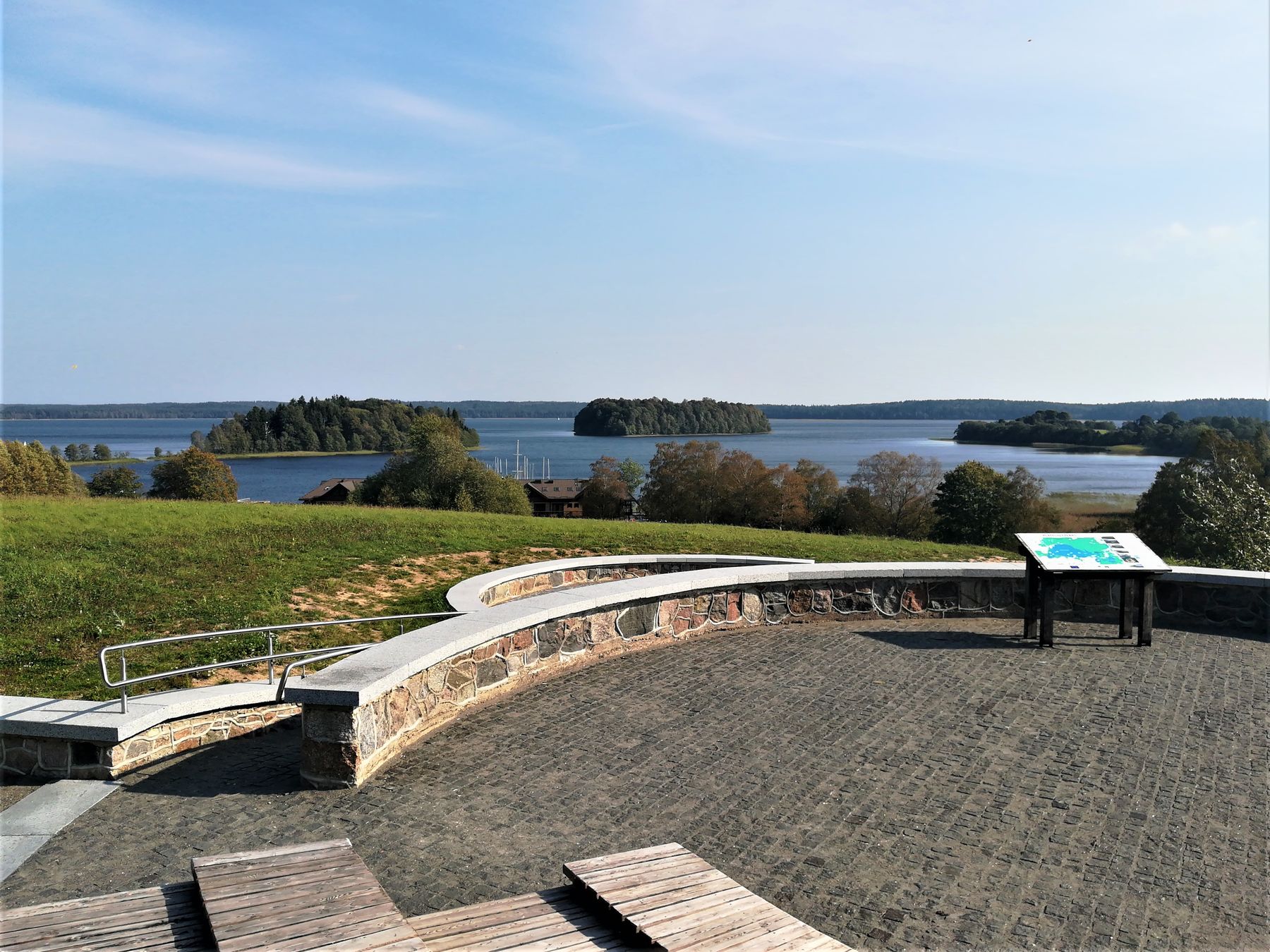
The walking trail, with a segment of 1.4 km adapted to meet needs of mobility-impaired persons, is located in the Žemaitija National Park, near the town of Plateliai, 1.3 km from the Žemaitija National Park Administration Plateliai Visitor Centre. A segment of the trail (1.8 km) coincides with the Cycling Path around Lake Plateliai. Walking this trail (4.1 km), which is located in the Plateliai Landscape Reserve, you can explore the relief characteristic of this region, the Šeirė forest, the Gaudupis Bog, lake Piktežeris, Lake Plateliai, usual and rare species of plants, fungi and animals, while the infrastructure installed will assist you in acquainting with the environment through the sight, smell, hearing, touch, moving and thinking. Special equipment is installed on 4 sites that will assist children in getting acquainted with nature through major senses and games. This equipment is for children aged 3 years and over. Gaudupis is one of the largest swamps in the National Park. 8 species that are listed by the Red List of Lithuania have been found here: Fen Orchid (Liparis loeselii), Bog Orchid (Hammarbya Paludosa), Butterwort (Pinguicula) and others; also, beavers, Meadow Pipits (Anthus pratensis) can be met frequently on the swamp together with other species. Lake Piktežeris is an example of a lake becoming a swamp. The eye of the lake still exists reaching up to 16 m in depth, while near the shore - up to 7 m. The water is sour with slight content of oxygen. Only one fish species lives here – a perch. A viewing platform is located near the lake. In the shore of Lake Plateliai stands out by picturesque panoramic views of the Lake, Skarbas (Treasure) Hill known from old tales, and Kumelkaktė (Mare‘s Forehead) peninsula, on which, it is thought, an ancient temple once stood. Visitors of different tastes and interests can walk this trail: one part of this trail is adapted to meet needs of mobility-impaired visitors, another part is intended for cyclists, while the entire trail – for all hikers and families with small children among them.

Info
Type: TrailLength: 7km
We visited: 05 Sep, 2018
GPS: 56.048411, 21.827357