Mikytų pažintinis takas
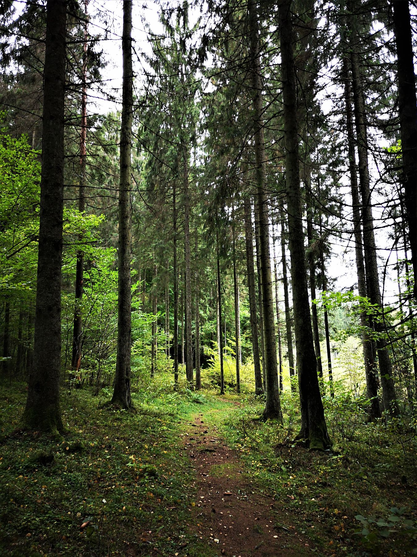
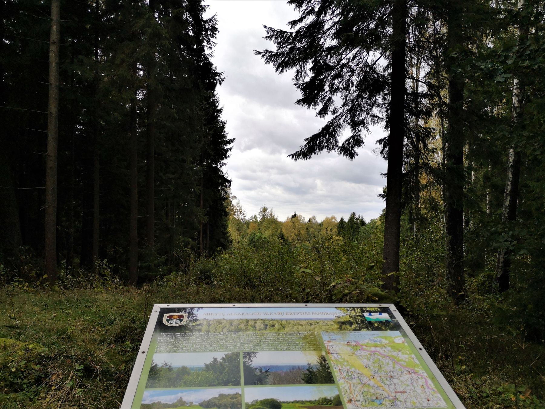
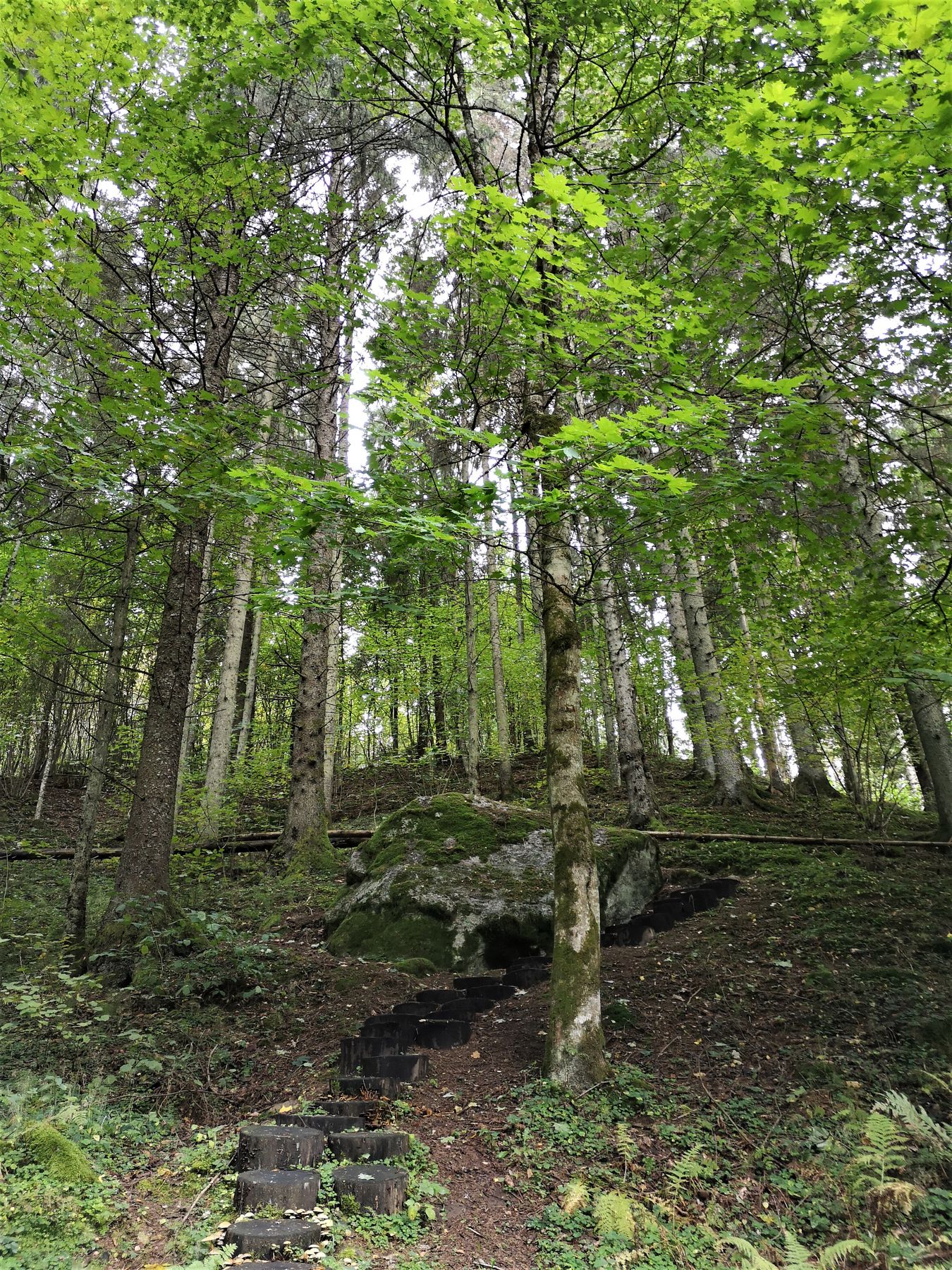
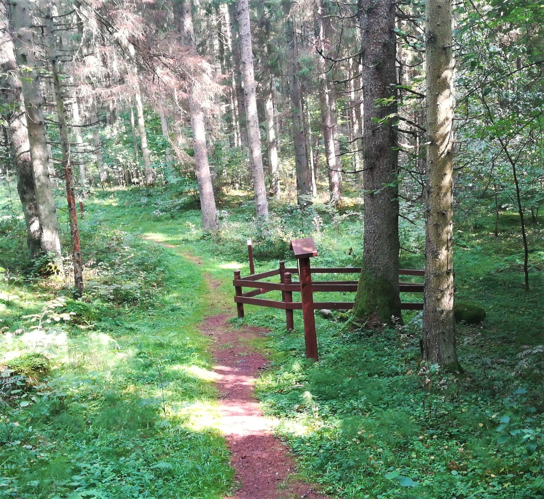
This walking trail provides the hikers with opportunities to explore the Mikytai Landscape Reserve and some valuable stateprotected archaeological finds. Mikytai Altar Hill. The height of the 1st millennium middle – 2nd millennium beginning Mikytai altar hill is 30 metres. According to legends, the Mikytai altar hill was erected by the Swedes; while in ancient times this was a place, where sacrifices used to be offered to gods. Stone with a Devil‘s Footprint. A bumpy mythological stone of 4.5x2.5x4 m in size: “a foot with the heel”. According to the legend, a devil destroyed the church that stood on the altar hill and pressed its foot into a stone when scurrying away. It is thought that this stone’s age is not less than 1.5 billion years, and even much more. Well of Prayers (Offerings). It is a funnel type pit about 2 m in diameter and up to 50 cm in depth, cobbled with small stones. According to the legend, sacrifices used to be offered here. Later, in order to save the sacrifices, this well was hidden under the stones. Mikytai Landscape Reserve. The reserve has been established to preserve and show to the visitors this mosaic hilly landscape characteristic of Žemaitija, featuring the entire complex of woods, fields, meadows, hills interspersed with small swamps and single farmsteads, archaeological finds, rare vegetation, habitats of rare species of plants, fungi and animals and natural hydrographic elements. One of the hills, Pūkštė Hill, has been granted a status of a natural monument. The trail of natural paving has way finding signs, and there is a National Park Information Board at the starting point. Near the trail, there is a resting place, a parking lot and a toilet. The closest eatery is in Barstyčiai, 5.3 km away, while eating and lodging facilities are in Plateliai, 11 km away.

Info
Type: TrailLength: 1.2km
We visited: 05 Sep, 2018
GPS: 56.12722, 21.82533