Litorina
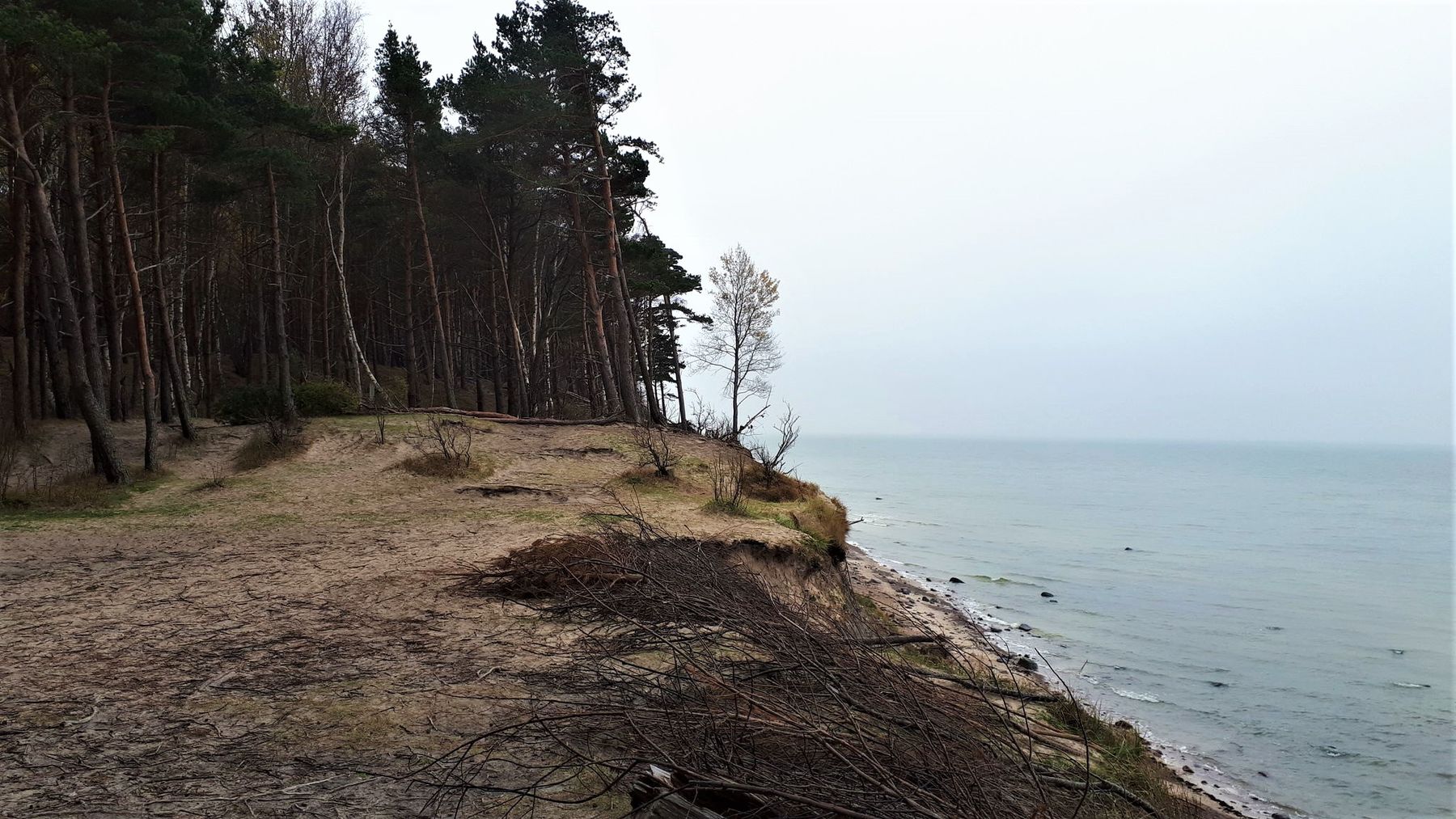
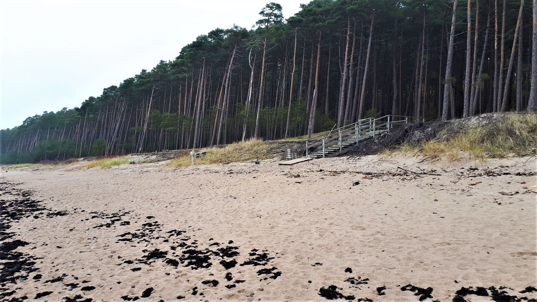
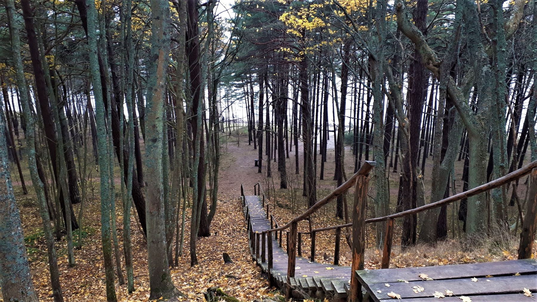
To the south and north from the Dutch Hat (Lith. Olandų kepurė) is the escarpment of an ancient Litorina sea shore, formed by the waves 5 – 7 thousand years ago. The relative height of this ancient slope (from the sea terraces below to the top of the morainic ridge above) is 8 – 21 m. Here there were deep springy caverns with short torrential brooks. At the end of the 19th century, landscaping the Giruliai seaside, a park for walks of Klaipėda inhabitants was created in these picturesque places. The Oaks, Beeches, Sycamore maples, other ornamental trees were planted. There is a nice viewing platform on the top of the slope opening an impressive view to the sea and the beach.

Info
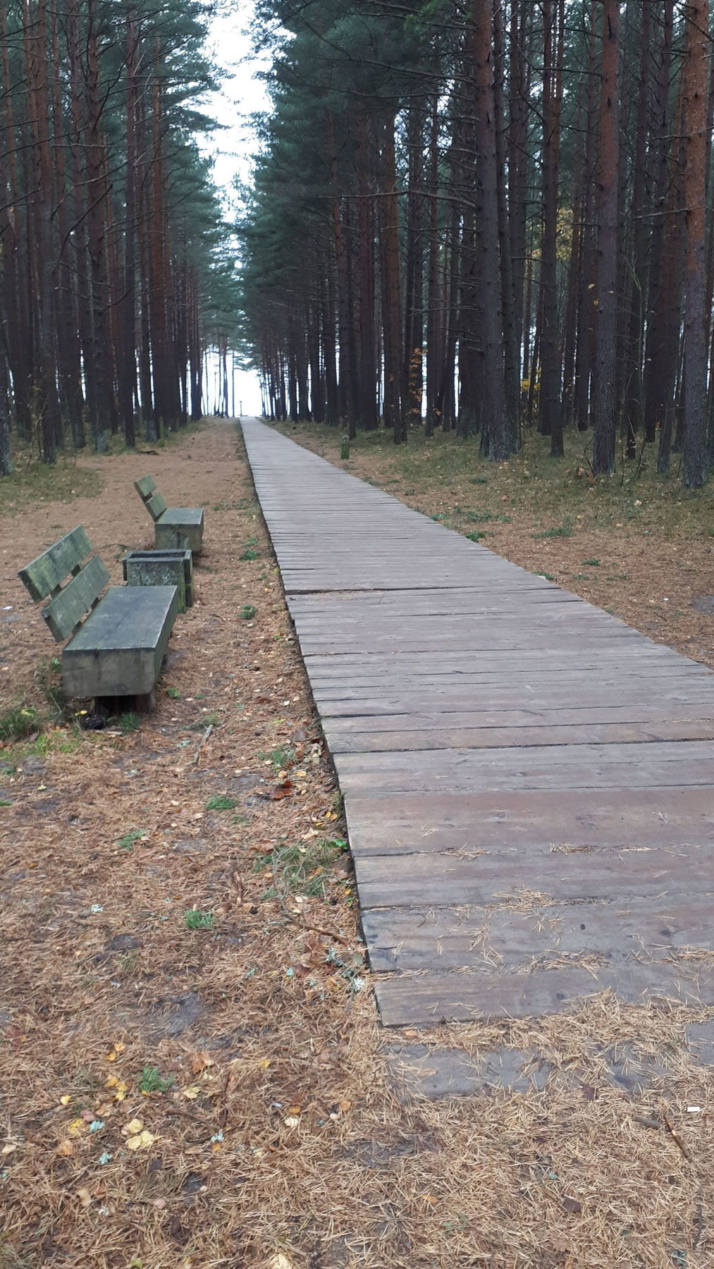
Type: TrailLength: 5.6km
We visited: 21 Sep, 2018
GPS: 55.7947755364, 21.0723935867
Waze: Braukt ar Waze
View on map