Biržai Smardonės šaltinis takas
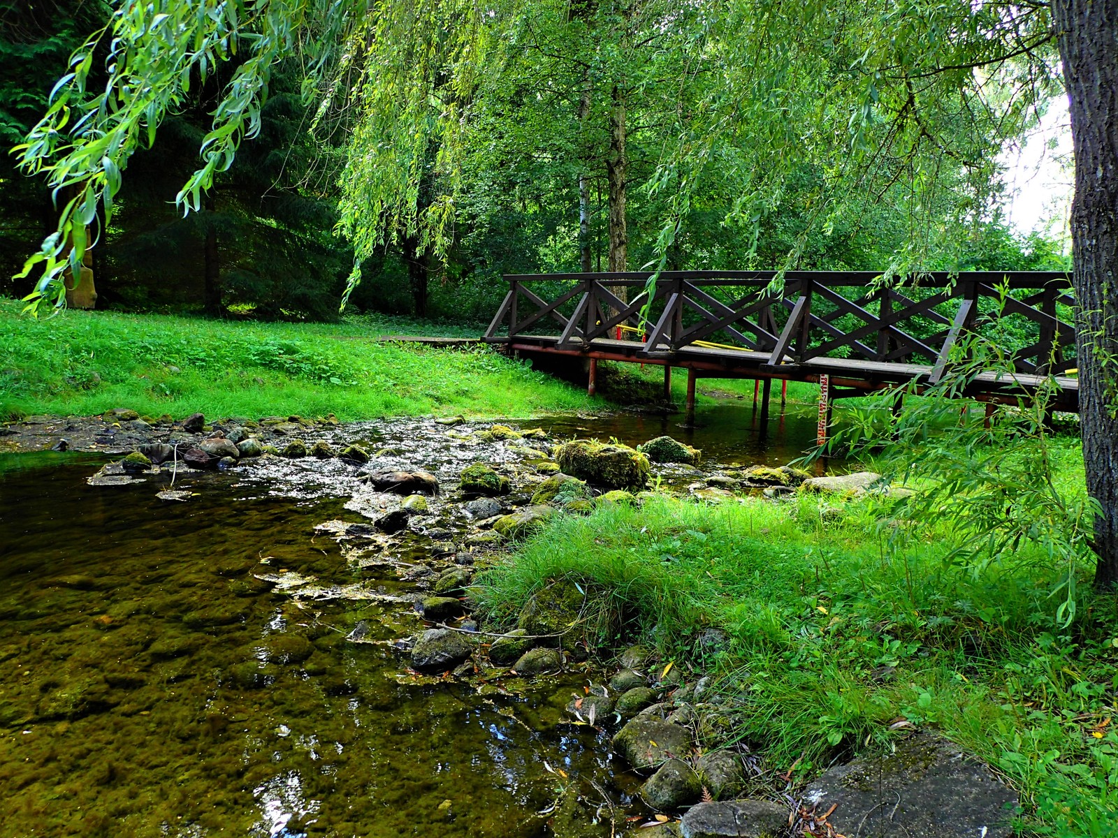
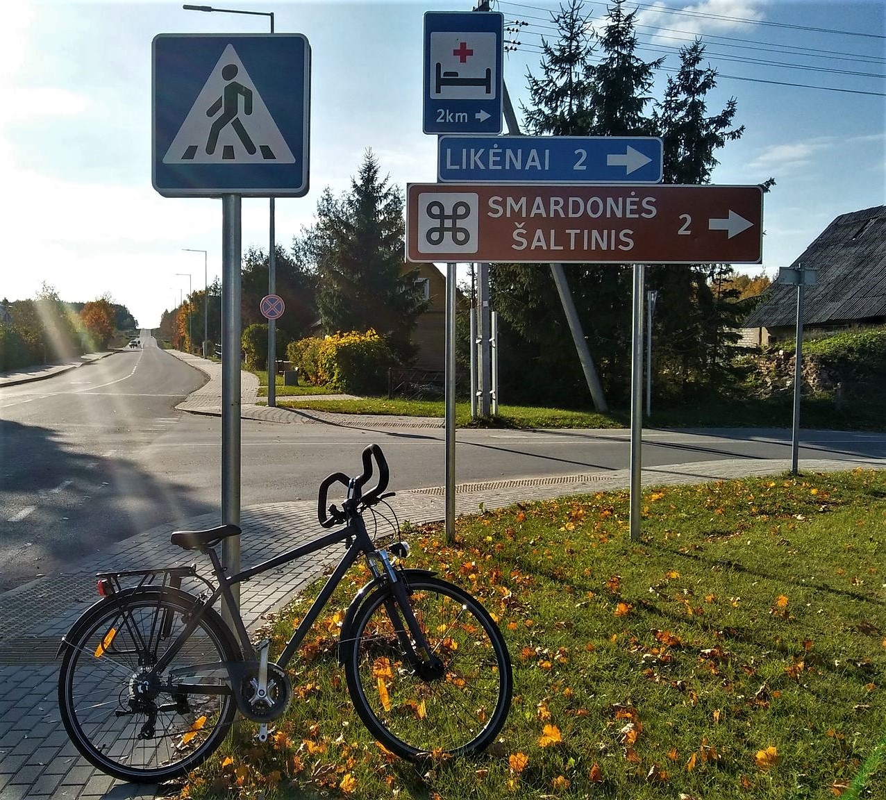
The trail starts from Biržai Regional Park Visitor Centre and continues on reconstructed sidewalk-bicycle trail in Biržai town then on bicycle and pedestrian trail next to the road No. 125 (Biržai-Raubonys) untill Pabiržė town, continue on sidewalk-bicycle trail, on the left you can see Holy Trinity Church in Pabiržė, cross the road to the right, direction Likėnai, continue on sidewalk, cross the road near the school and continue on pedestrian and bicycle trail untill village Likėnai, Likėnai Park and Smardonė Spring.
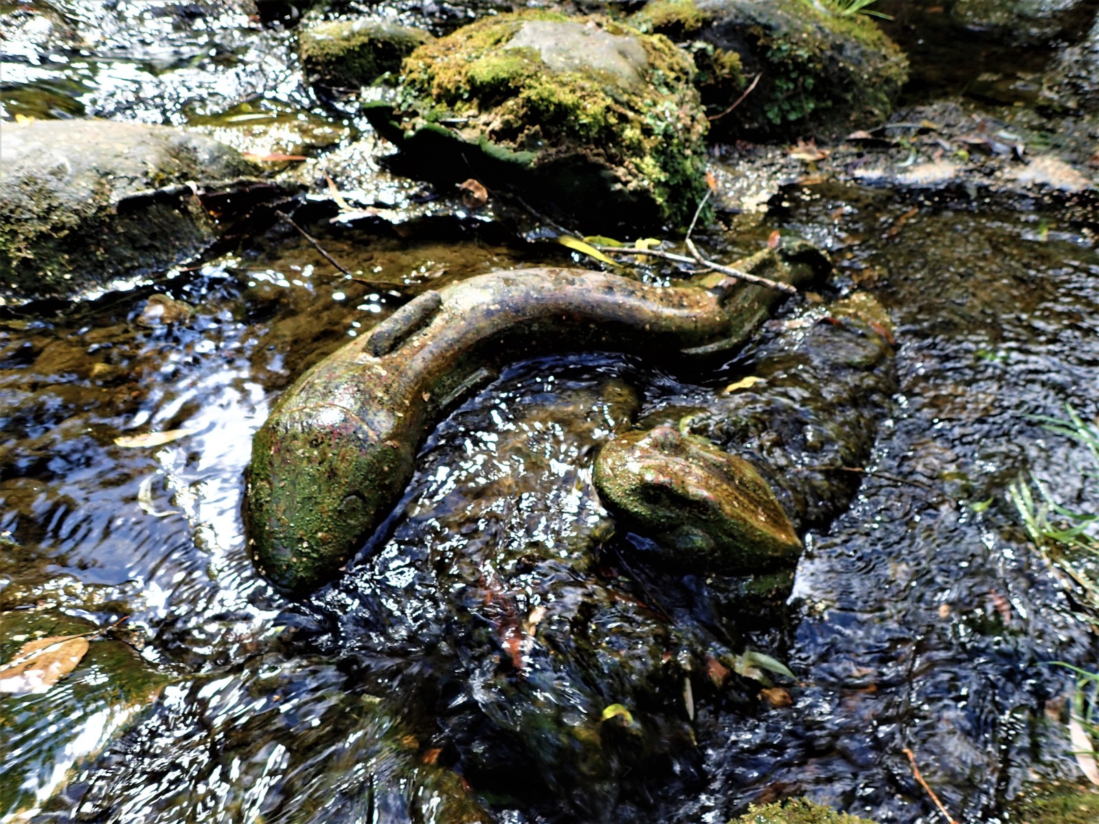
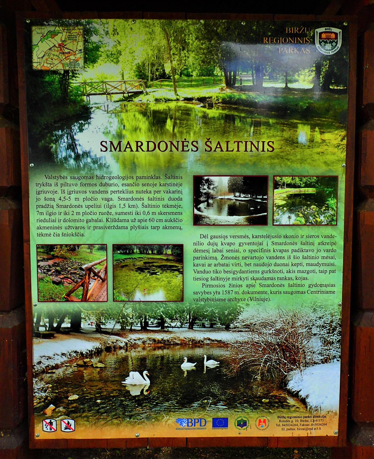
In the outskirts of Likėnai park the karst seething springhead marks the beginning of Smardonė spring which after 1,5 km flows in Tatula river. The largest diameter of the spring’s hollow – 18,3 m. Spring flow is not constant, varying from 130 to 540 l/s, and during a very dry year may be equal to zero. Since water comes from karst Tatula’ rocks it has bitter taste and emits hydrogen sulfide gas odor. Water total mineralization reaches almost 1,9 g/liter.
About Smardonė spring’ use for medical purposes firstly was mentioned in 1587, in a handwritten document which is currently stored in the Central Archive in Vilnius. This is an old known karst origin spring flow which in 1985 became a hydrogeology monument. Because of the consistence of sulfur in water it was not suitable for cooking and laundry, therefore, people discovered its healing properties. Water for the treatment is used already since the sixteenth century. Smardonė spring’ water chemical composition and suitability for medical purposes were analyzed many times: the first analysis of water’ chemical composition was made in 1816 by at this time well-known physicist, chemist T. Grotthuss, later the chemical consistence of the mineral water was studied by other famous scientists as well, however, currently for treatment with mud baths only hydrogen sulphide rich peat is used.


Info
Type: TrailLength: 9.6km
We visited: 23 Aug, 2018
GPS: 56.202407, 24.755619