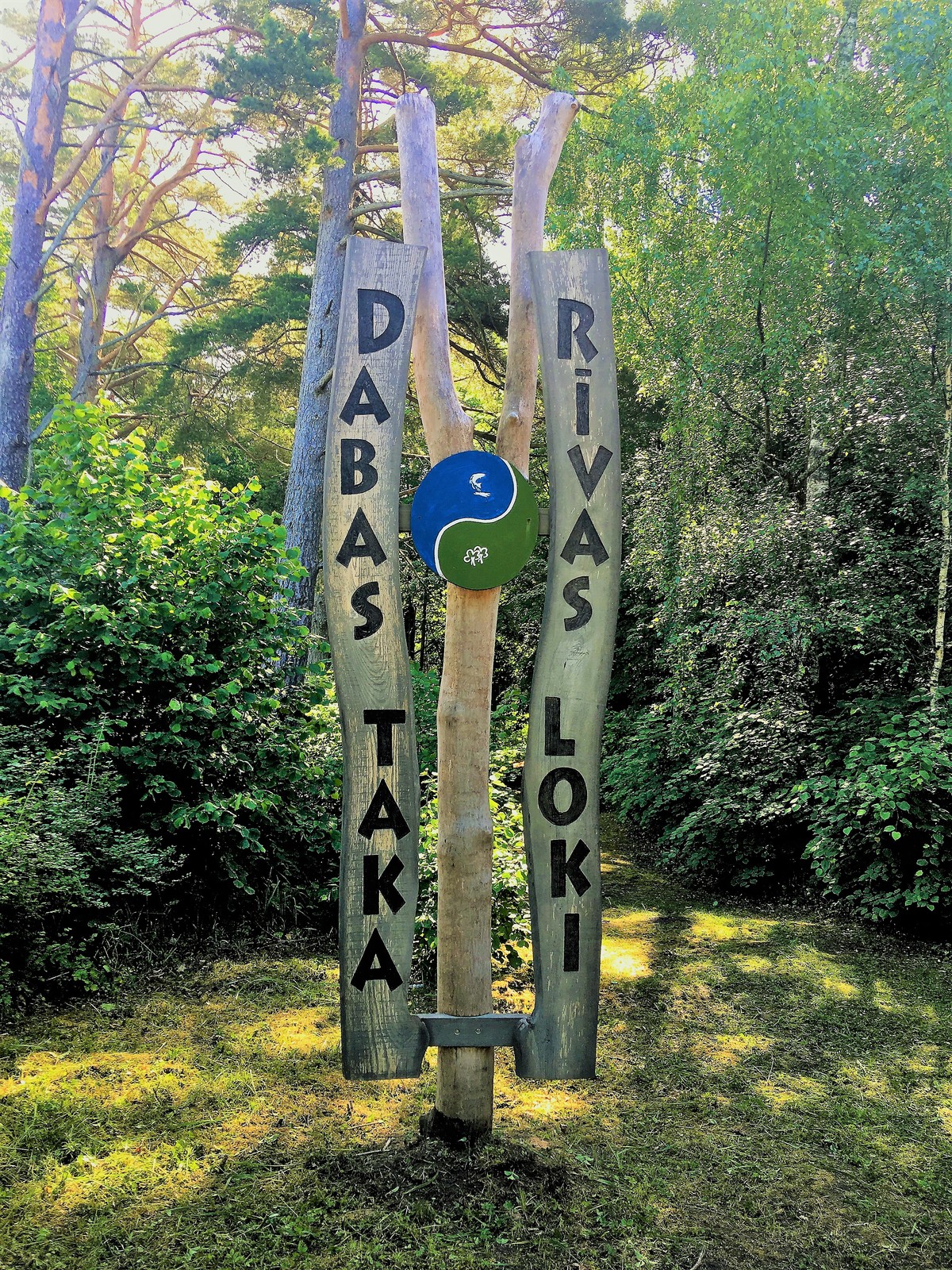
Rīvas loki
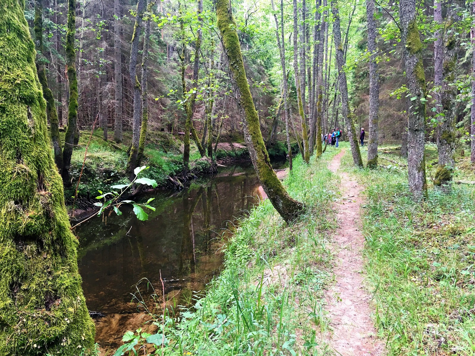
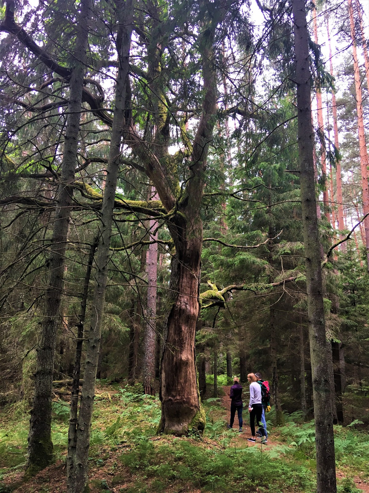
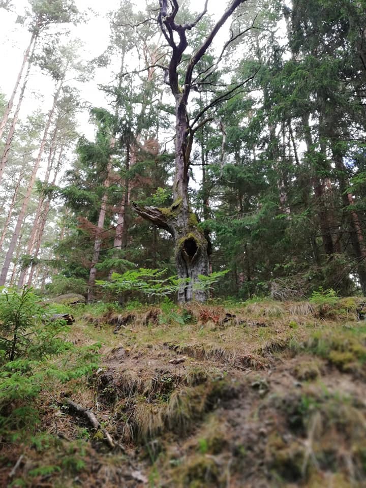
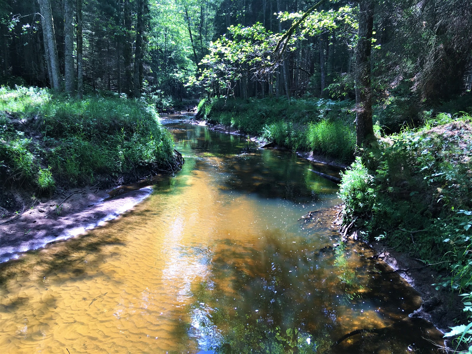
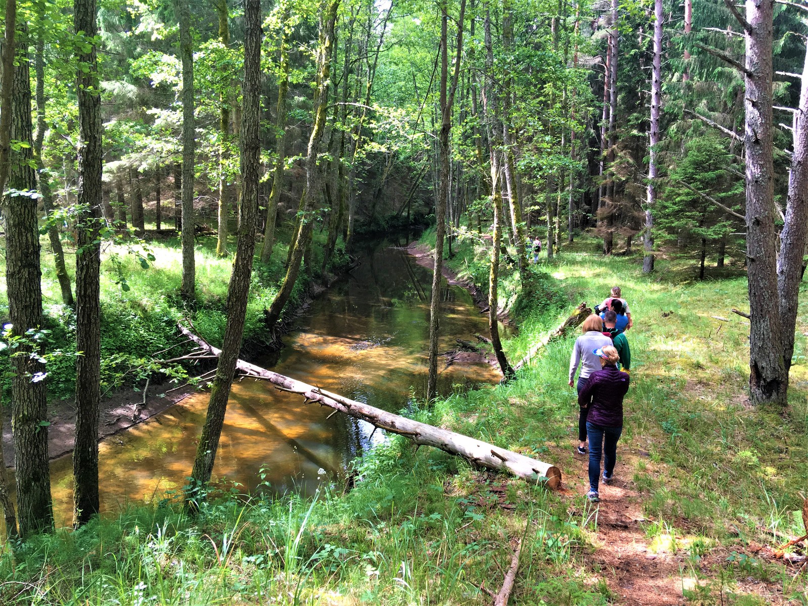
Although the “brown sign” marking the way to the trail is not yet installed on the highway, it’s rather easy to find it. Follow the sign to Ulmale-Labrags lutheran church, the starting point of the trail is marked with a special trail name sign just after the church. The route goes in the direction away from the sea and stretches up and down along the Rīva river picturesque valley. Rīva flows in a canyon-type ravine, the depth of which reaches 12 m. The trail reveals countless river twists and turns, steep coastal cliffs, diversity of plants. If lucky, you can be able to spot even a kingfisher or a black stork.
The trail is accessible all year round. If canoeing/kayaking, spring and autumn is the most suitable.
The trail has 3 stages, first two – each 3 km long, the last – 2 km long. The route is suitable for active travellers, it shall take around 2,5 h to accomplish the total distance. There are several simple resting areas along the route with benches and fireplace sites.
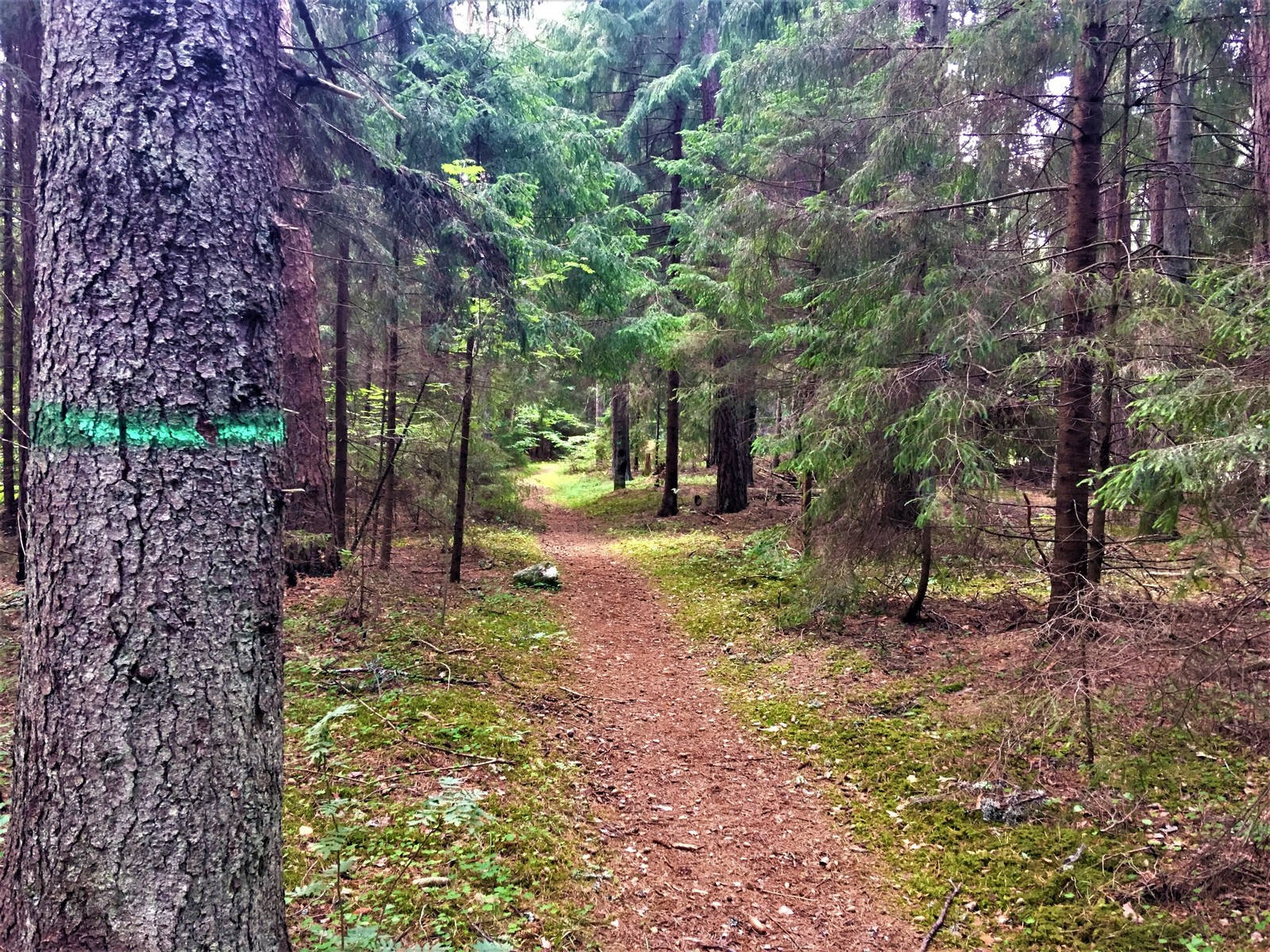
The first two stages are marked with green paint on trees. The last – the hardest one – has not been specifically formed and marked, it will be enjoyed by hikers who prefer wilderness and are ready to overcome various obstacles – broken trees fallen over the trail path, overgrown shore etc. Here you are advised to follow the river coastline in order to not to get lost until you reach the Gumbu bridge at the end of the trail. Thre route is point-to-point, you may return by the road near the trail. The public transport is not accessible though, you should think of leaving a car nearby before starting the trail or walk all the way back.
When visiting the trail, travellers are recommended to bring comfortable hiking shoes and appropriate clothing.
Along with the trail, travellers are suggested to see the Old wooden bridge over the Rīva river and the waterfall, both in the center of Labrags, located just before the start of the trail.

Info
Type: TrailLength: 8km
We visited: 28 Jun, 2018
GPS: 56.97027, 21.34781